UN/LOCODE hub · Canada
CASIO

Sicamous

50.8333°, -118.9833°
1,786
Population
3
Transport functions

Transport Functions

Port
Rail
Road
UN/LOCODE

Hub Profile

Place type
Populated place
GeoNames
Region
British Columbia
GeoNames
Population
1,786
GeoNames
Time zone
America/Vancouver
GeoNames
Elevation
355 m
GeoNames

Location

Location of CASIO
Natural Earth 10m (public domain) · British Columbia · CASIO · 50.83, -118.98GoogleOSMYandex

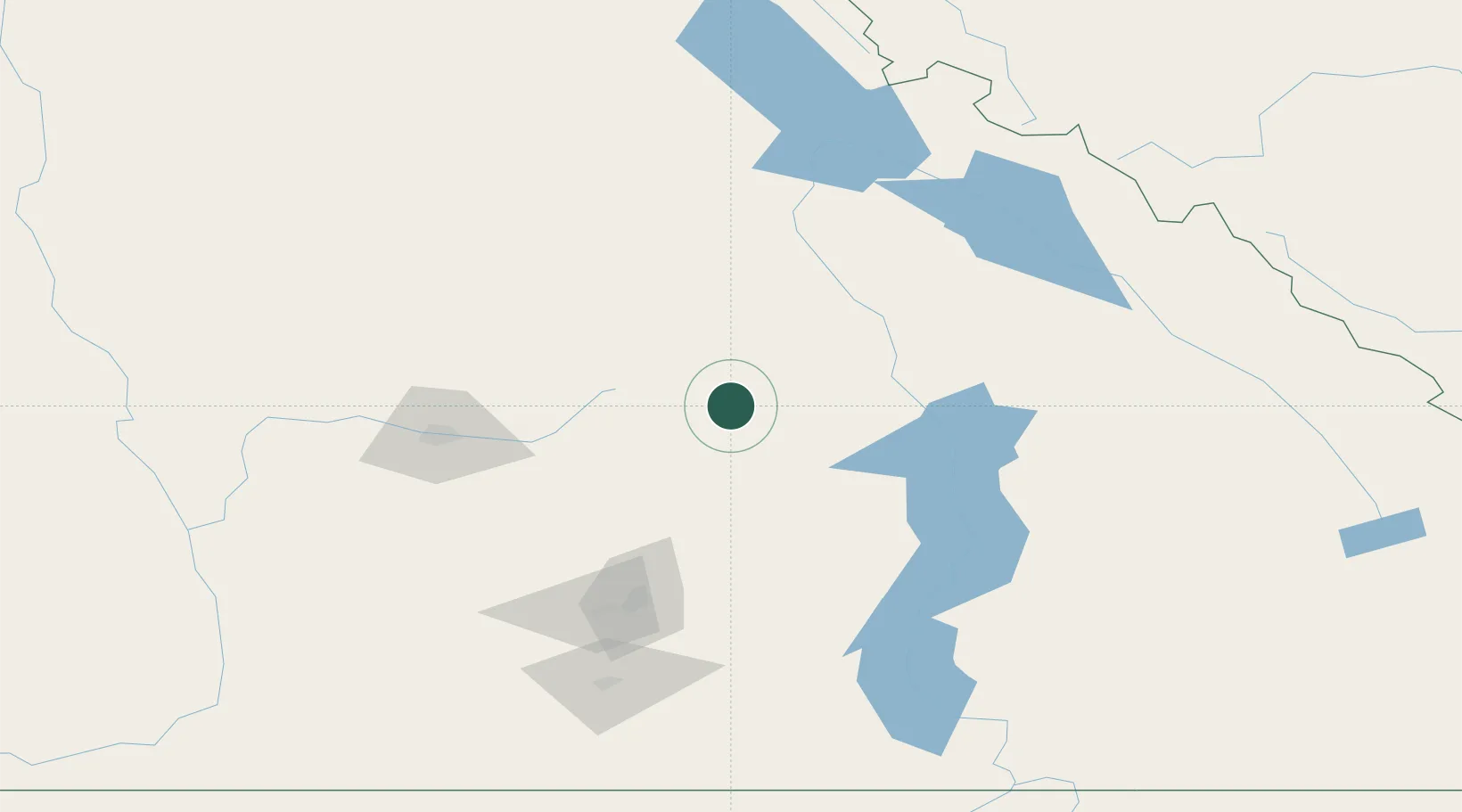
Nearby Logistics Neighbours

Cities
  1. 1Fraser Wharves21 km
  2. 2Grindrod24 km
  3. 3Enderby34 km
  4. 4Armstrong47 km
  5. 5Falkland55 km
Nearest neighbours — logibook spatial index (haversine) over the source coordinates
Ports
  1. 1Mission City300 km
  2. 2Port Coquitlam324 km
  3. 3Port Moody327 km
  4. 4Fraser Mills329 km
  5. 5New Westminster335 km
Nearest neighbours — logibook spatial index (haversine) over the source coordinates
Airports
  1. 1Shuswap Regional Airport24 km
  2. 2Revelstoke Airport58 km
  3. 3Vernon Regional Airport70 km
  4. 4Kelowna International Airport102 km
  5. 5Kamloops John Moose Fulton Field Regional Airport104 km
Nearest neighbours — logibook spatial index (haversine) over the source coordinates
Trade Zones
  1. 1FTZ No. 242 Boundary County279 km
  2. 2FTZ No. 128 Whatcom County340 km
  3. 3FTZ Vancouver Island344 km
  4. 4FTZ No. 129 Bellingham344 km
  5. 5Calgary Region Inland Port345 km
Nearest neighbours — logibook spatial index (haversine) over the source coordinates
DatabookThe Record of Consolidated Knowledge
Canada beyond logistics?
Browse databook

All Sources

LocationsUN/LOCODE
UN/LOCODE — free
LocationsGeoNames
CC BY 4.0
Portsthe NGA World Port Index
Public domain (US gov)
AirportsOurAirports
Public domain
Trade Zonesthe World Bank SEZ database
CC BY 4.0
Trade ZonesOpen Zone Map
CC BY
← Canada locations