Transport Functions
Rail
Road
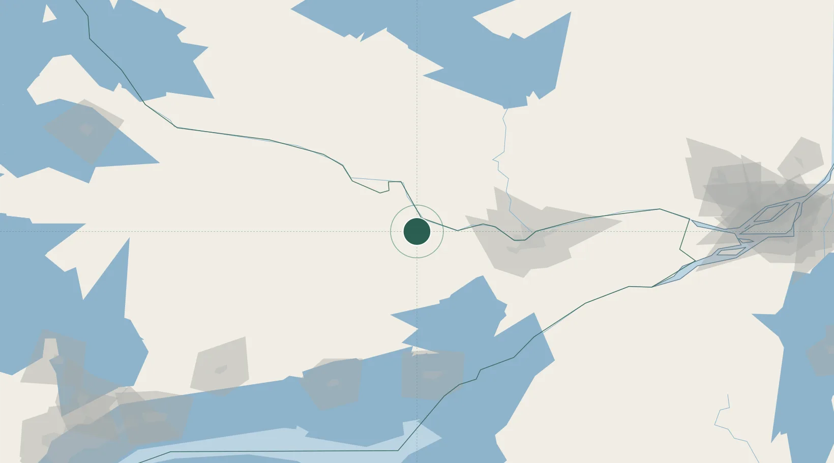
Hub Profile
Place type
Populated place
Region
Ontario
Population
8,223
Time zone
America/Toronto
Elevation
128 m
Location
Nearby Logistics Neighbours
Cities
- 1Douglas20 km
- 2Almonte47 km
- 3Ompah51 km
- 4Wakefield62 km
- 5Stittsville65 km
Ports
- 1Hull77 km
- 2Ottawa77 km
- 3Gatineau81 km
- 4Masson99 km
- 5Cumberland100 km
Airports
Trade Zones
- 1FTZ No. 118 Ogdensburg125 km
- 2FTZ No. 109 Watertown176 km
- 3FTZ No. 090 Onondaga224 km
- 4Greater Montreal Free Zone Center243 km
- 5FTZ No. 172 Oneida County253 km
DatabookThe Record of Consolidated Knowledge
Canada beyond logistics?