Transport Functions
Multimodal
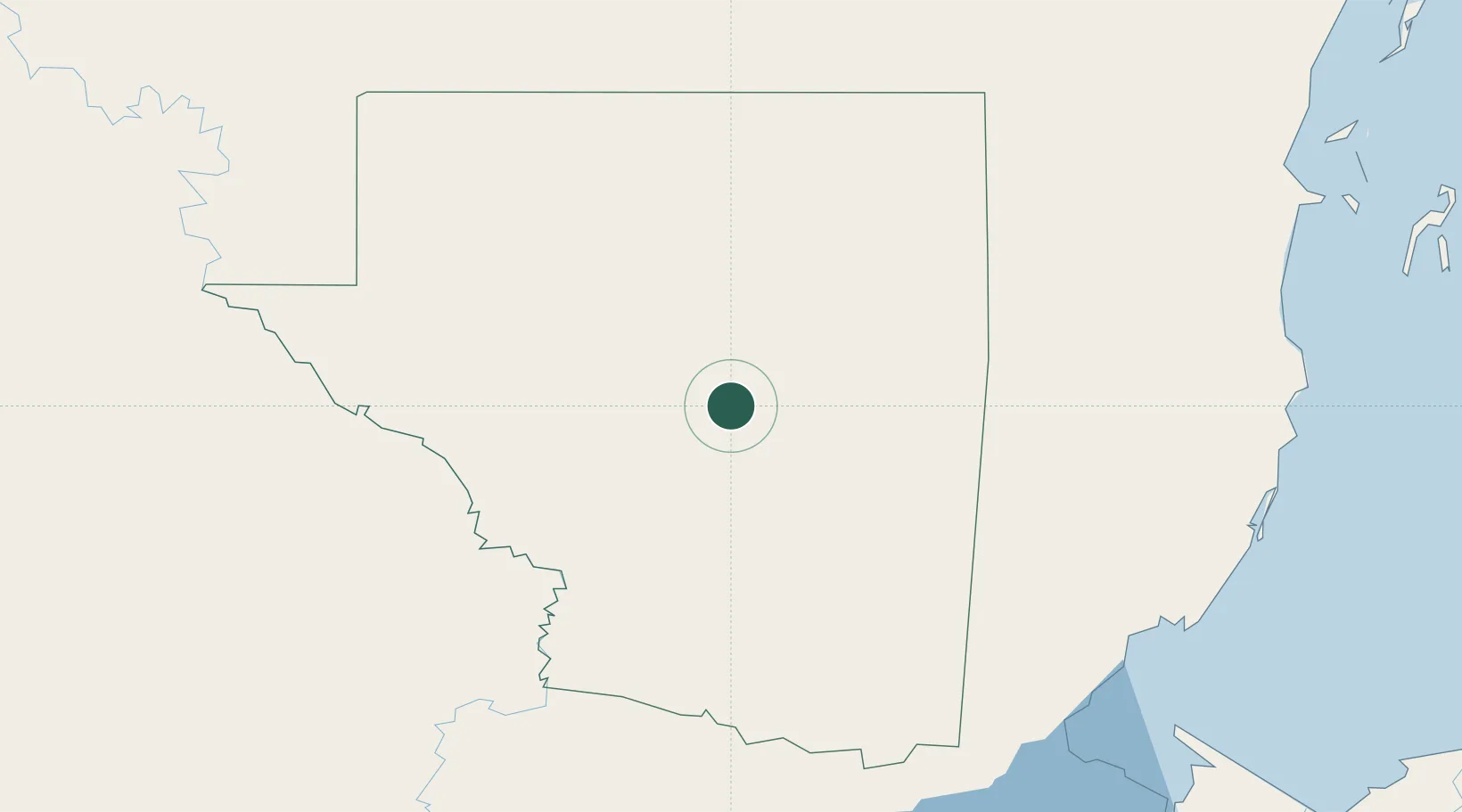
Hub Profile
Place type
Populated place
Region
Guatemala
Time zone
America/Guatemala
Elevation
2,012 m
Location
Nearby Logistics Neighbours
Cities
- 1La Libertad Peten27 km
- 2Barranco145 km
- 3Big Creek165 km
- 4Lívingston171 km
- 5Dangriga179 km
Ports
- 1Big Creek165 km
- 2Puerto Barrios190 km
- 3Santo Tomas De Castilla191 km
- 4Belize City194 km
- 5Puerto Cortes240 km
Airports
- 1Mundo Maya International Airport4 km
- 2Rubelsanto Airport117 km
- 3Punta Gorda Airport146 km
- 4Independence Airport161 km
- 5Big Creek Airport164 km
Trade Zones
- 1Philip Goldson International Airport183 km
- 2Price Barracks184 km
- 3Santo Tomas de Castillo Free Zone193 km
- 4San Andres Export Processing Zone229 km
- 5Corozol Free Zone238 km
DatabookThe Record of Consolidated Knowledge
Guatemala beyond logistics?