Seaport · Guatemala
Puerto BarriosGTPBR
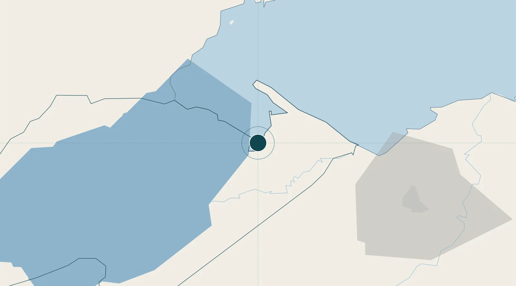
15.7333°, -88.6000°
9.4 m
Channel depth
1
Container terminals
71.5
Port liner connectivity
Channel & Berth Profile
Pilotage, Tugs & Services
Pilotage compulsoryYES
Pilotage availableYES
Pilotage advisableYES
Tug assistanceYES
Salvage tugsNO
Potable waterYES
Diesel bunkersYES
MedicalYES
Garbage disposalYES
Facilities & Capabilities
ContainerYES
Ro-Ro—
Liquid bulkYES
Dry bulkYES
Oil terminal—
Break bulkYES
Dry dock—
RepairsNO
BunkeringYES
Rail linkYES
Dangerous cargo—
ISPS securityYES
Harbour Specifications
Harbour size
Small
Harbour type
Open Roadstead
Shelter
Fair
Water body
Caribbean Sea; North Atlantic Ocean
Tidal range
0.3 m
Overhead limit
No
Pilotage
Yes
Liner Connectivity
71.5
PLSCI
Port Liner Shipping Connectivity Index for Puerto Barrios, as published by UNCTAD for the latest available quarter. Higher values indicate stronger scheduled liner-shipping integration.
Shown relative to the highest per-port PLSCI in the dataset (1,657.9).
Location
Container Terminals · 1
TERMINAL FERROVIARIA PUERTO BARRIOS
TFPB
Nearby Logistics Neighbours
Ports
- 1Santo Tomas De Castilla4 km
- 2Puerto Cortes70 km
- 3Big Creek90 km
- 4Tela123 km
- 5La Ceiba193 km
Cities
- 1Puerto Santo Tomás de Castilla5 km
- 2Santo Tomas6 km
- 3Entre Ríos13 km
- 4Lívingston20 km
- 5Corinto30 km
Airports
Trade Zones
- 1Santo Tomas de Castillo Free Zone5 km
- 2Green Valley Industrial Park62 km
- 3Altia Smart City65 km
- 4ZIP San José69 km
- 5ZOLI Indhelva Free Zone70 km
DatabookThe Record of Consolidated Knowledge
Guatemala beyond logistics?