Transport Functions
Port
Road
Airport
Hub Profile
Region
Southern District
Time zone
America/Belize
Elevation
8 m
Logistics facilities
1
Container terminals
1
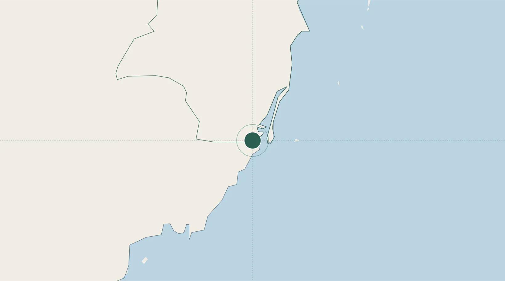
Location
Nearby Logistics Neighbours
Cities
- 1Dangriga54 km
- 2Barranco79 km
- 3Lívingston84 km
- 4Puerto Barrios91 km
- 5Omoa92 km
Ports
- 1Puerto Barrios89 km
- 2Puerto Cortes90 km
- 3Santo Tomas De Castilla93 km
- 4Belize City112 km
- 5Tela130 km
Airports
- 1Big Creek Airport1 km
- 2Independence Airport5 km
- 3Placencia Airport5 km
- 4Dangriga Airport55 km
- 5Punta Gorda Airport63 km
Trade Zones
- 1Santo Tomas de Castillo Free Zone94 km
- 2Parque Industrial San Miguel104 km
- 3ZOLI Indhelva Free Zone111 km
- 4Ciudad Morazán (ZEDE Morazán)111 km
- 5ZIP Choloma Free Zone112 km
DatabookThe Record of Consolidated Knowledge
Belize beyond logistics?