Small airport · Belize

H.E Alfredo Martinez (Tower Hill) AirstripBZ-ORZ
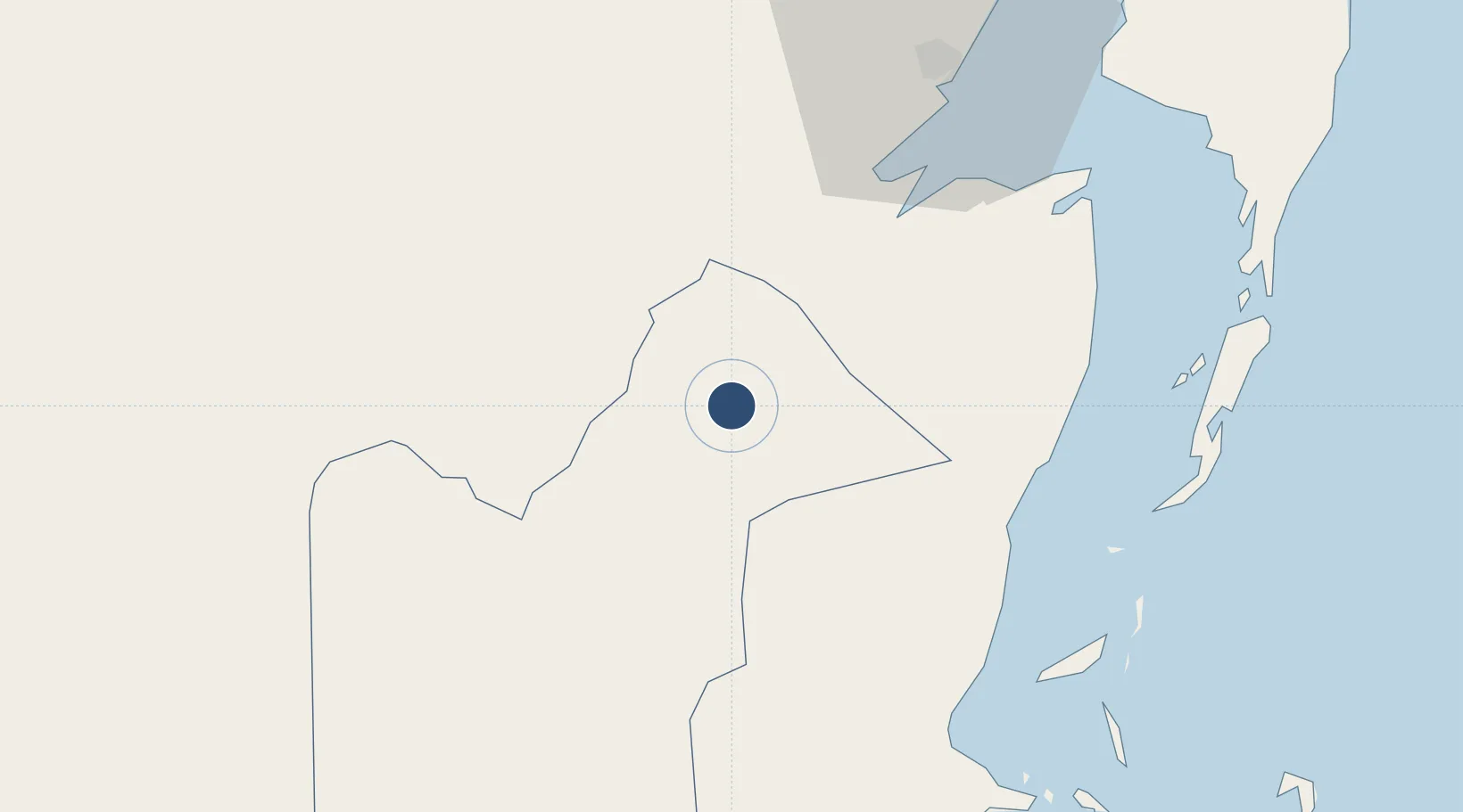
18.0468°, -88.5839°
69 ft
Elevation

Runway & Layout

H.E Alfredo Martinez (Tower Hill) Airstrip runway & taxiway layout
Runway & taxiway layout — OpenStreetMap (ODbL) / OurAirports

Airport Specifications

IATA code
ORZ
OurAirports
ICAO code
MZAM
OurAirports
Airport class
Small airport
OurAirports
Scheduled service
Yes
OurAirports
Served city
Orange Walk
OurAirports

Location

Location of BZ-ORZ
Natural Earth 10m (public domain) · Orange Walk · BZ-ORZ · 18.05, -88.58GoogleOSMYandex

Nearby Logistics Neighbours

Airports
  1. 1Corozal Airport42 km
  2. 2Chetumal International Airport58 km
  3. 3Sartaneja Airport59 km
  4. 4Philip S. W. Goldson International Airport64 km
  5. 5John Greif II Airport67 km
Nearest neighbours — logibook spatial index (haversine) over the source coordinates
Cities
  1. 1Benque Viejo28 km
  2. 2Belize City75 km
  3. 3Dangriga126 km
  4. 4Big Creek171 km
  5. 5Petén189 km
Nearest neighbours — logibook spatial index (haversine) over the source coordinates
Ports
  1. 1Belize City74 km
  2. 2Puerto Costa Maya122 km
  3. 3Big Creek171 km
  4. 4Puerto Cortes255 km
  5. 5Puerto Barrios257 km
Nearest neighbours — logibook spatial index (haversine) over the source coordinates
Trade Zones
  1. 1San Andres Export Processing Zone42 km
  2. 2Corozol Free Zone53 km
  3. 3Special Economic Zone of Chetumal59 km
  4. 4Price Barracks63 km
  5. 5Philip Goldson International Airport63 km
Nearest neighbours — logibook spatial index (haversine) over the source coordinates
DatabookThe Record of Consolidated Knowledge
Belize beyond logistics?
Browse databook

All Sources

AirportsOurAirports
Public domain
Portsthe NGA World Port Index
Public domain (US gov)
LocationsUN/LOCODE
UN/LOCODE — free
Trade Zonesthe World Bank SEZ database
CC BY 4.0
Trade ZonesOpen Zone Map
CC BY
InfrastructureOpenStreetMap
ODbL 1.0
← Belize airports