Transport Functions
Multimodal
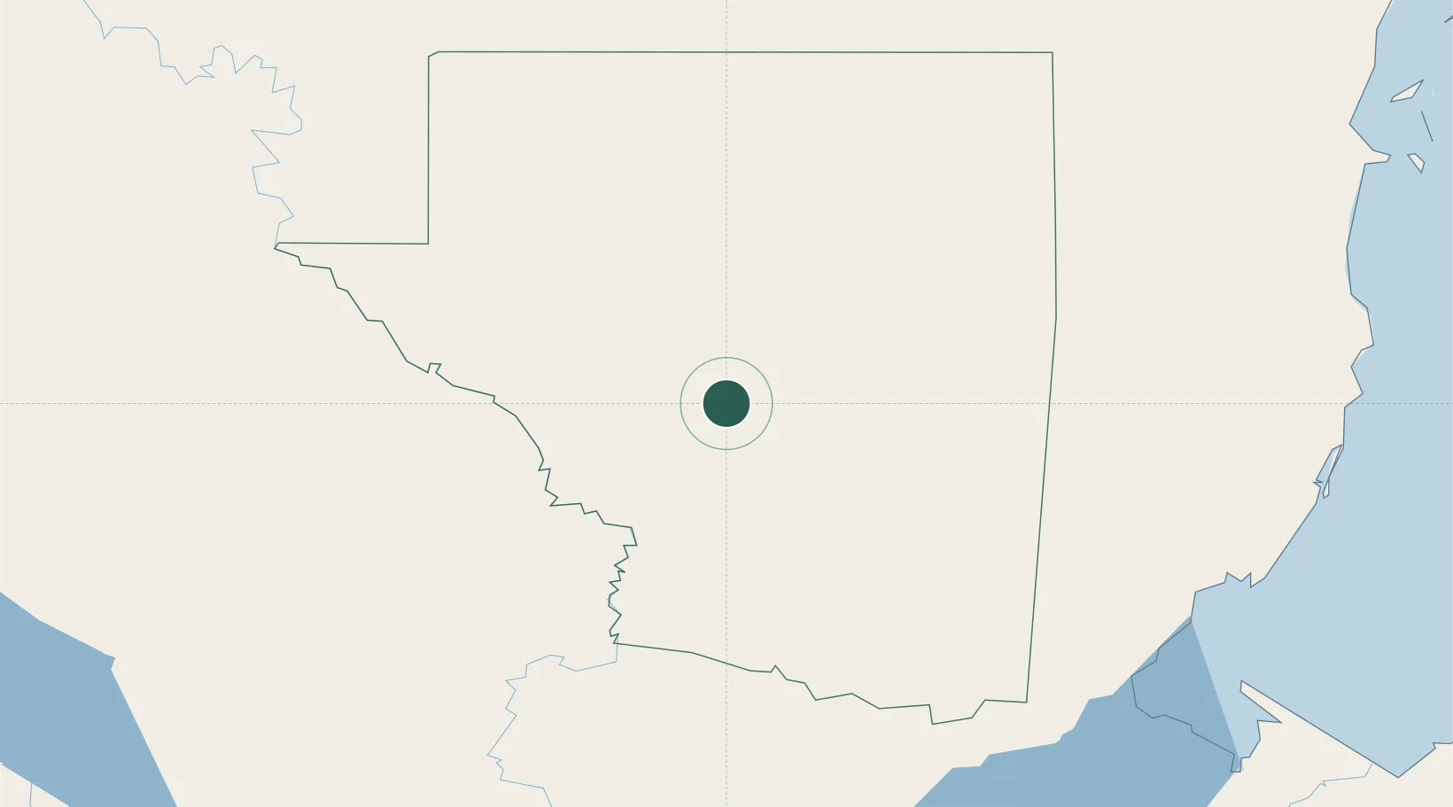
Location
Nearby Logistics Neighbours
Cities
- 1Petén27 km
- 2Barranco155 km
- 3Lívingston180 km
- 4El Carmen182 km
- 5Big Creek185 km
Ports
- 1Big Creek185 km
- 2Puerto Barrios200 km
- 3Santo Tomas De Castilla200 km
- 4Belize City220 km
- 5Puerto Cortes254 km
Airports
- 1Mundo Maya International Airport30 km
- 2Rubelsanto Airport95 km
- 3Coban Airport149 km
- 4Punta Gorda Airport159 km
- 5Independence Airport181 km
Trade Zones
- 1Santo Tomas de Castillo Free Zone202 km
- 2Philip Goldson International Airport209 km
- 3Price Barracks210 km
- 4Zona Franca Cropa247 km
- 5San Andres Export Processing Zone254 km
DatabookThe Record of Consolidated Knowledge
Guatemala beyond logistics?