UN/LOCODE hub · Brazil
BRTBA

Taubaté

-23.0167°, -45.5500°
317,915
Population
3
Transport functions

Transport Functions

Rail
Road
Multimodal
UN/LOCODE

Hub Profile

Place type
Provincial seat
GeoNames
Region
São Paulo
GeoNames
Population
317,915
GeoNames
Time zone
America/Sao_Paulo
GeoNames
Elevation
589 m
GeoNames

Location

Location of BRTBA
Natural Earth 10m (public domain) · São Paulo · BRTBA · -23.02, -45.55GoogleOSMYandex

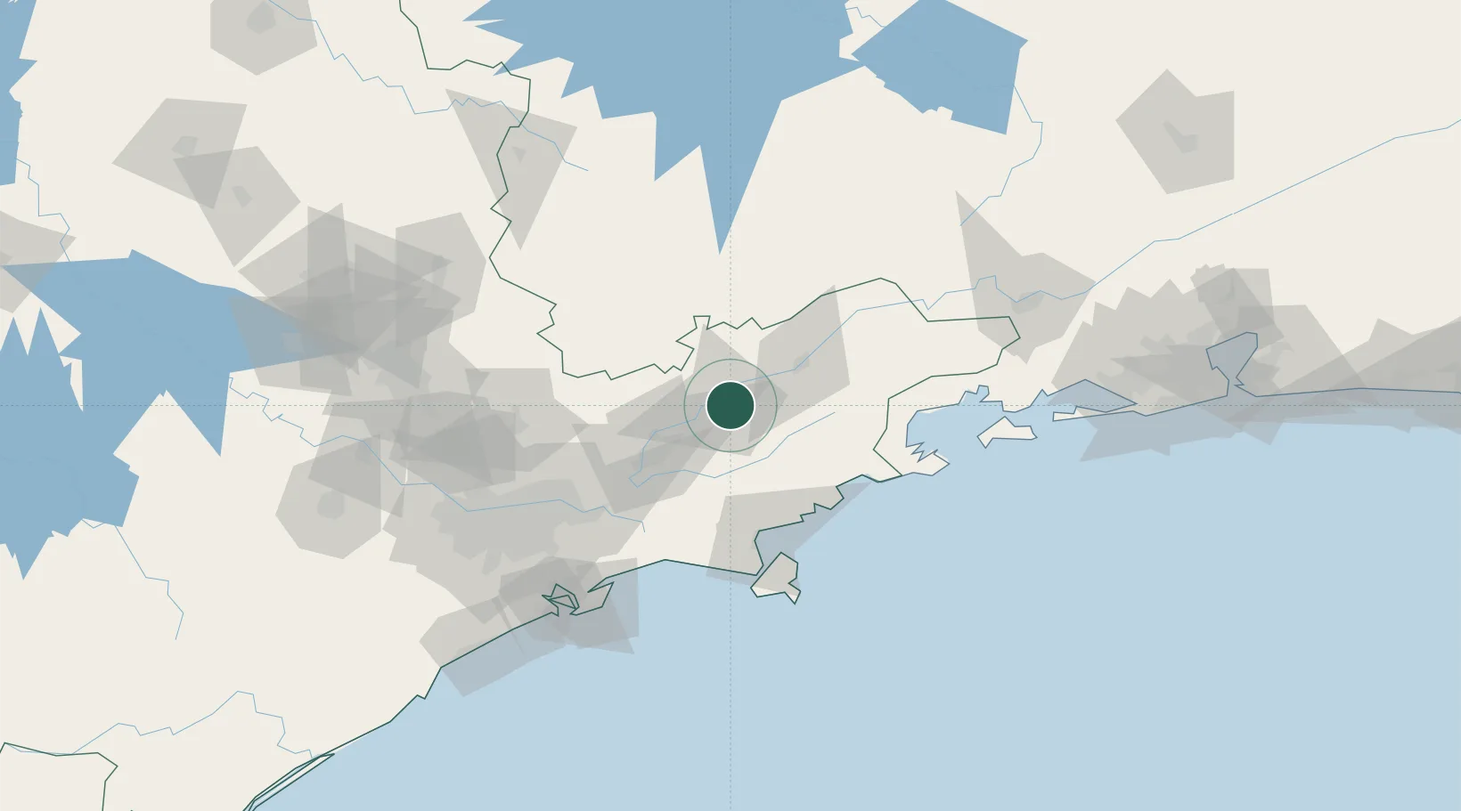
Nearby Logistics Neighbours

Cities
  1. 1Pindamonhangaba15 km
  2. 2Caçapava18 km
  3. 3Roseira30 km
  4. 4São José dos Campos39 km
  5. 5Guaratinguetá44 km
Nearest neighbours — logibook spatial index (haversine) over the source coordinates
Ports
  1. 1Sao Sebastiao88 km
  2. 2Angra Dos Reis126 km
  3. 3Santos129 km
  4. 4Rio De Janeiro244 km
  5. 5Niteroi250 km
Nearest neighbours — logibook spatial index (haversine) over the source coordinates
Airports
  1. 1Base de Aviação de Taubaté4 km
  2. 2N. S. A. Heliport31 km
  3. 3Professor Urbano Ernesto Stumpf Airport40 km
  4. 4Edu Chaves Field43 km
  5. 5Paraty Airport88 km
Nearest neighbours — logibook spatial index (haversine) over the source coordinates
Trade Zones
  1. 1ZPE de Itaguaí (RJ)182 km
  2. 2ZPE de Uberaba (MG)447 km
  3. 3ZPE do Açú (RJ)482 km
  4. 4ZPE de Fernandópolis (SP)574 km
  5. 5ZPE de Imbituba (SC)594 km
Nearest neighbours — logibook spatial index (haversine) over the source coordinates
DatabookThe Record of Consolidated Knowledge
Brazil beyond logistics?
Browse databook

All Sources

LocationsUN/LOCODE
UN/LOCODE — free
LocationsGeoNames
CC BY 4.0
Portsthe NGA World Port Index
Public domain (US gov)
AirportsOurAirports
Public domain
Trade Zonesthe World Bank SEZ database
CC BY 4.0
Trade ZonesOpen Zone Map
CC BY
← Brazil locations