Heliport · Brazil

N. S. A. HeliportBR-0352
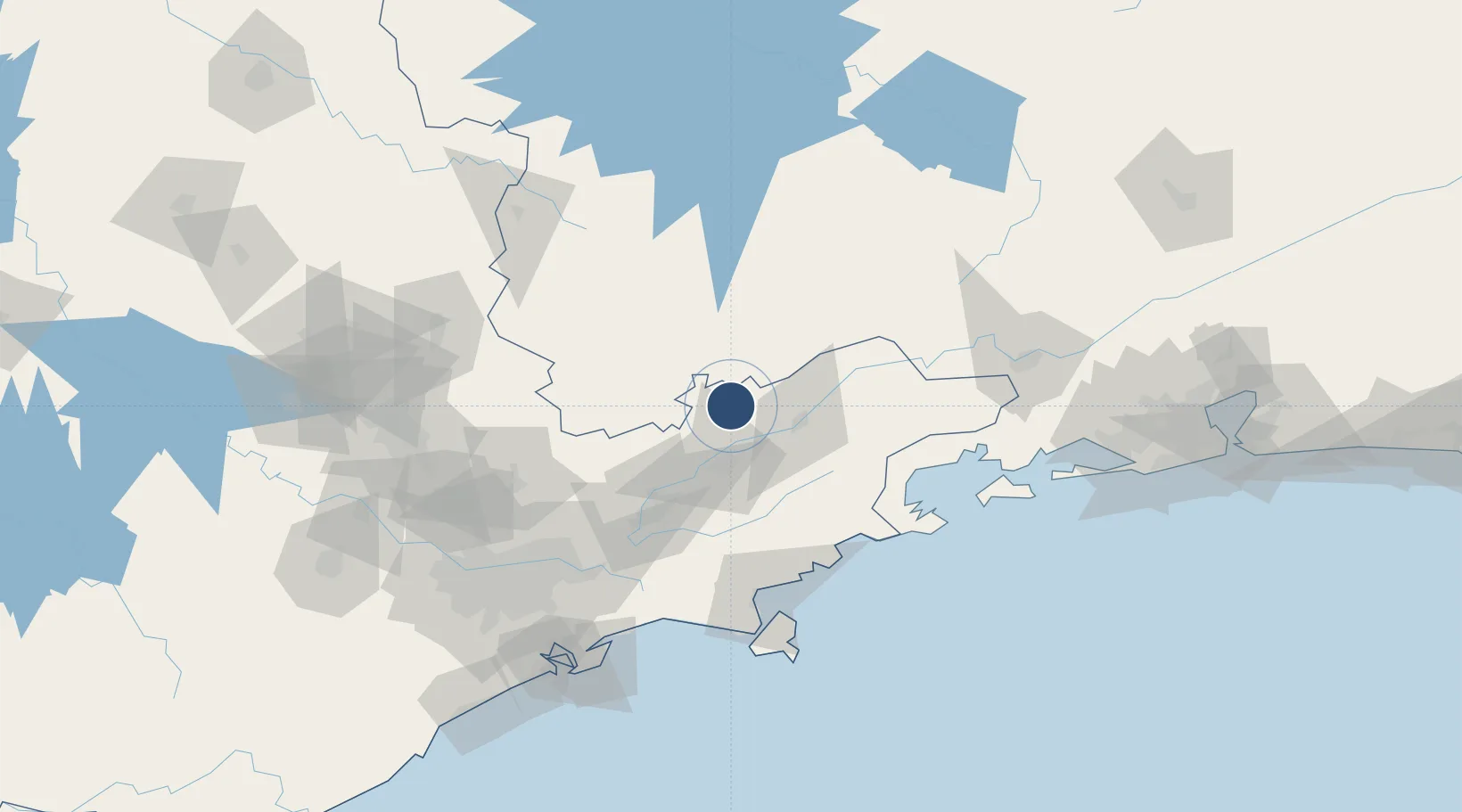
-22.7384°, -45.5401°
69 ft
Longest runway
1
Runways
5,663 ft
Elevation

Runway & Layout

N. S. A. Heliport runway & taxiway layout
Runway & taxiway layout — OpenStreetMap (ODbL) / OurAirports

Runways · 1

RunwayDimensions SurfaceTrue headingLit
H1/H1 69 × 69ft Concrete
OurAirports

Airport Specifications

ICAO code
SNBK
OurAirports
Airport class
Heliport
OurAirports
Scheduled service
Yes
OurAirports
Runway surface
Concrete
OurAirports
Served city
Campos do Jordão
OurAirports

Location

Location of BR-0352
Natural Earth 10m (public domain) · São Paulo · BR-0352 · -22.74, -45.54GoogleOSMYandex

Nearby Logistics Neighbours

Airports
  1. 1Base de Aviação de Taubaté34 km
  2. 2Edu Chaves Field35 km
  3. 3Professor Urbano Ernesto Stumpf Airport64 km
  4. 4Paraty Airport100 km
  5. 5São Paulo/Guarulhos–Governor André Franco Montoro International Airport122 km
Nearest neighbours — logibook spatial index (haversine) over the source coordinates
Cities
  1. 1Pindamonhangaba22 km
  2. 2Roseira29 km
  3. 3Taubaté31 km
  4. 4Guaratinguetá38 km
  5. 5Caçapava43 km
Nearest neighbours — logibook spatial index (haversine) over the source coordinates
Ports
  1. 1Sao Sebastiao119 km
  2. 2Angra Dos Reis129 km
  3. 3Santos156 km
  4. 4Rio De Janeiro244 km
  5. 5Niteroi249 km
Nearest neighbours — logibook spatial index (haversine) over the source coordinates
Trade Zones
  1. 1ZPE de Itaguaí (RJ)182 km
  2. 2ZPE de Uberaba (MG)423 km
  3. 3ZPE do Açú (RJ)474 km
  4. 4ZPE de Fernandópolis (SP)560 km
  5. 5ZPE de Imbituba (SC)621 km
Nearest neighbours — logibook spatial index (haversine) over the source coordinates
DatabookThe Record of Consolidated Knowledge
Brazil beyond logistics?
Browse databook

All Sources

AirportsOurAirports
Public domain
Portsthe NGA World Port Index
Public domain (US gov)
LocationsUN/LOCODE
UN/LOCODE — free
Trade Zonesthe World Bank SEZ database
CC BY 4.0
Trade ZonesOpen Zone Map
CC BY
InfrastructureOpenStreetMap
ODbL 1.0
← Brazil airports