UN/LOCODE hub · Brazil
BRPNM
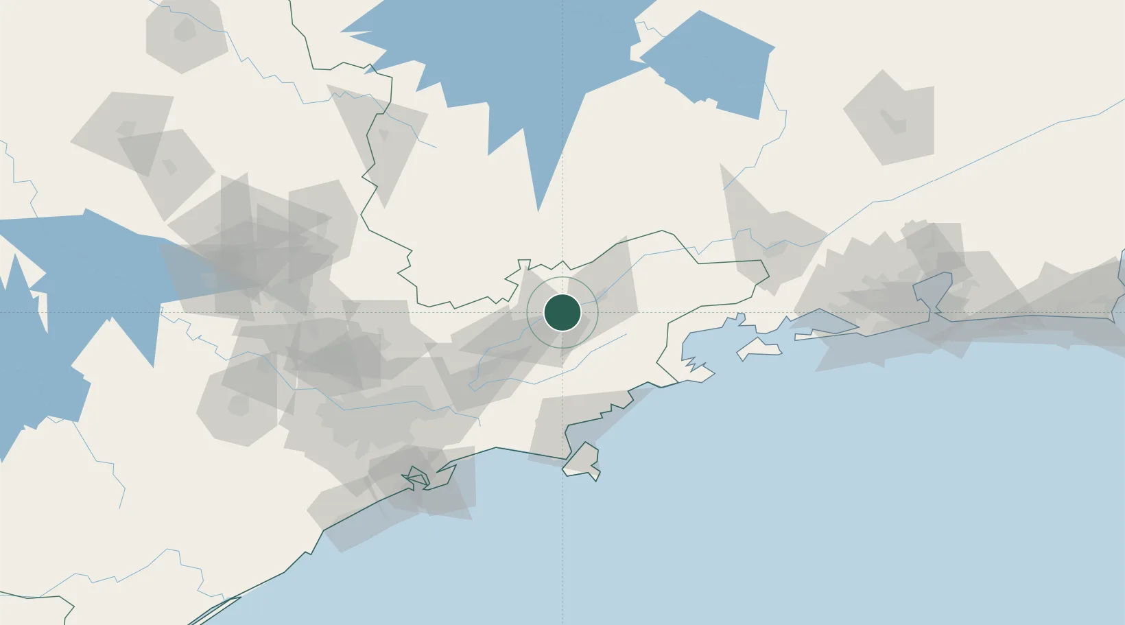
Pindamonhangaba
-22.9167°, -45.4500°
165,428
Population
3
Transport functions
Transport Functions
Rail
Road
Airport
Hub Profile
Place type
Populated place
Region
São Paulo
Population
165,428
Time zone
America/Sao_Paulo
Elevation
562 m
Location
Nearby Logistics Neighbours
Cities
- 1Taubaté15 km
- 2Roseira16 km
- 3Guaratinguetá30 km
- 4Caçapava33 km
- 5São José dos Campos53 km
Ports
- 1Sao Sebastiao98 km
- 2Angra Dos Reis117 km
- 3Santos144 km
- 4Rio De Janeiro234 km
- 5Niteroi239 km
Airports
- 1Base de Aviação de Taubaté15 km
- 2N. S. A. Heliport22 km
- 3Edu Chaves Field29 km
- 4Professor Urbano Ernesto Stumpf Airport55 km
- 5Paraty Airport82 km
Trade Zones
- 1ZPE de Itaguaí (RJ)171 km
- 2ZPE de Uberaba (MG)444 km
- 3ZPE do Açú (RJ)469 km
- 4ZPE de Fernandópolis (SP)577 km
- 5ZPE de Imbituba (SC)608 km
DatabookThe Record of Consolidated Knowledge
Brazil beyond logistics?