Transport Functions
Rail
Road
Hub Profile
Place type
Populated place
Region
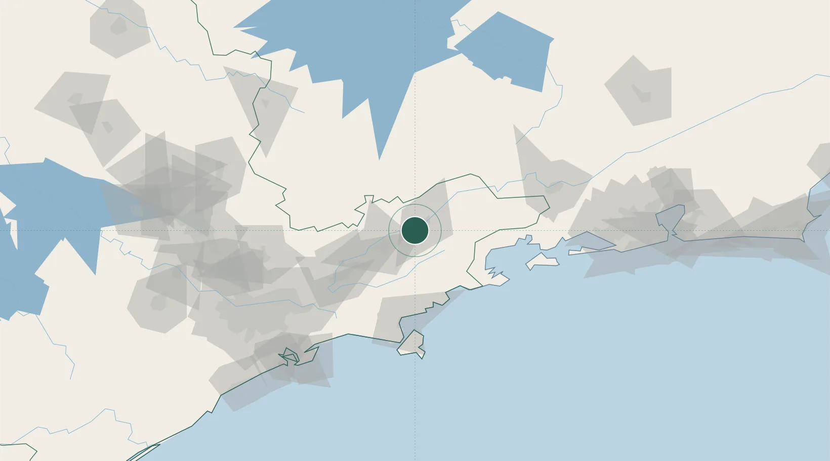
São Paulo
Population
10,832
Time zone
America/Sao_Paulo
Elevation
554 m
Location
Nearby Logistics Neighbours
Cities
- 1Guaratinguetá14 km
- 2Pindamonhangaba16 km
- 3Taubaté30 km
- 4Caçapava48 km
- 5Cruzeiro50 km
Ports
- 1Angra Dos Reis102 km
- 2Sao Sebastiao102 km
- 3Santos157 km
- 4Rio De Janeiro219 km
- 5Niteroi224 km
Airports
- 1Edu Chaves Field14 km
- 2Base de Aviação de Taubaté28 km
- 3N. S. A. Heliport29 km
- 4Professor Urbano Ernesto Stumpf Airport69 km
- 5Paraty Airport70 km
Trade Zones
- 1ZPE de Itaguaí (RJ)156 km
- 2ZPE de Uberaba (MG)450 km
- 3ZPE do Açú (RJ)453 km
- 4ZPE de Fernandópolis (SP)589 km
- 5ZPE de Imbituba (SC)619 km
DatabookThe Record of Consolidated Knowledge
Brazil beyond logistics?