Transport Functions
Port
Road
Airport
Hub Profile
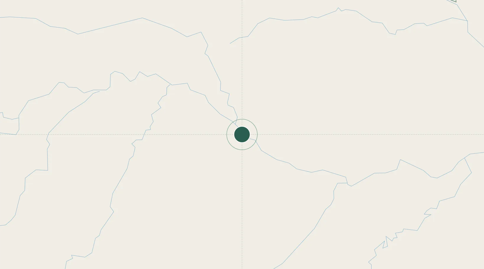
Place type
Populated place
Region
Amazonas
Population
79,278
Time zone
America/Manaus
Elevation
64 m
Location
Nearby Logistics Neighbours
Ports
- 1Manaus520 km
- 2Itacoatiara694 km
- 3Iquitos948 km
- 4Santarem1113 km
- 5Linden1258 km
Airports
- 1Tefé Airport6 km
- 2Carauari Airport298 km
- 3Barcelos Airport328 km
- 4Tapuruquara Airport330 km
- 5São Gabriel da Cachoeira Airport436 km
Trade Zones
DatabookThe Record of Consolidated Knowledge
Brazil beyond logistics?