Small airport · Brazil

Tapuruquara AirportSWTP
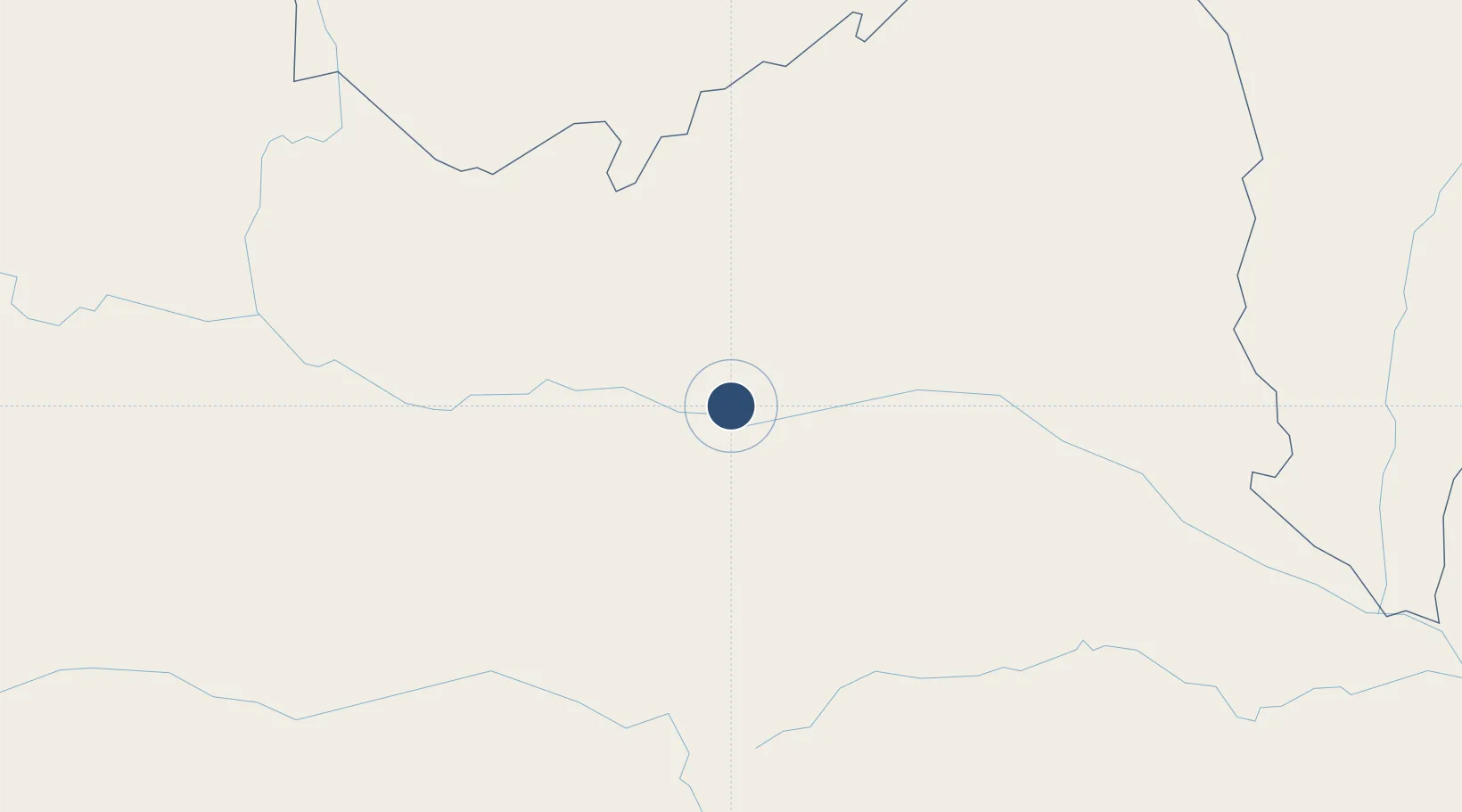
-0.3786°, -64.9926°
3,937 ft
Longest runway
1
Runways
141 ft
Elevation

Runway & Layout

Tapuruquara Airport runway & taxiway layout
Runway & taxiway layout — OpenStreetMap (ODbL) / OurAirports

Runways · 1

RunwayDimensions SurfaceTrue headingLit
9/27 3,937 × 98ft SAND
OurAirports

Airport Specifications

IATA code
IRZ
OurAirports
ICAO code
SWTP
OurAirports
Airport class
Small airport
OurAirports
Scheduled service
Yes
OurAirports
Runway surface
SAND
OurAirports
Served city
Santa Isabel do Rio Negro
OurAirports

Location

Location of SWTP
Natural Earth 10m (public domain) · Amazonas · SWTP · -0.38, -64.99GoogleOSMYandex

Nearby Logistics Neighbours

Airports
  1. 1São Gabriel da Cachoeira Airport223 km
  2. 2Barcelos Airport240 km
  3. 3Tefé Airport335 km
  4. 4La Pedrera Airport521 km
  5. 5Carauari Airport543 km
Nearest neighbours — logibook spatial index (haversine) over the source coordinates
Cities
  1. 1Santa Isabel do Rio Negro5 km
  2. 2Barcelos240 km
  3. 3Fonte Boa265 km
  4. 4Tefé330 km
  5. 5Tonantins413 km
Nearest neighbours — logibook spatial index (haversine) over the source coordinates
Ports
  1. 1Manaus632 km
  2. 2Itacoatiara790 km
  3. 3Ciudad Bolivar960 km
  4. 4Iquitos989 km
  5. 5Puerto Ordaz1003 km
Nearest neighbours — logibook spatial index (haversine) over the source coordinates
Trade Zones
  1. 1ZPE de Boa Vista (RR)594 km
  2. 2Zona Franca de Manaus - Suframa (Manaus Free Zone)636 km
  3. 3Free Port of Santa Elena de Uairén702 km
  4. 4Lethem Industrial Estate713 km
  5. 5Eccles Industrial Estate1098 km
Nearest neighbours — logibook spatial index (haversine) over the source coordinates
DatabookThe Record of Consolidated Knowledge
Brazil beyond logistics?
Browse databook

All Sources

AirportsOurAirports
Public domain
Portsthe NGA World Port Index
Public domain (US gov)
LocationsUN/LOCODE
UN/LOCODE — free
Trade Zonesthe World Bank SEZ database
CC BY 4.0
Trade ZonesOpen Zone Map
CC BY
InfrastructureOpenStreetMap
ODbL 1.0
← Brazil airports