UN/LOCODE hub · Brazil
BRGTA
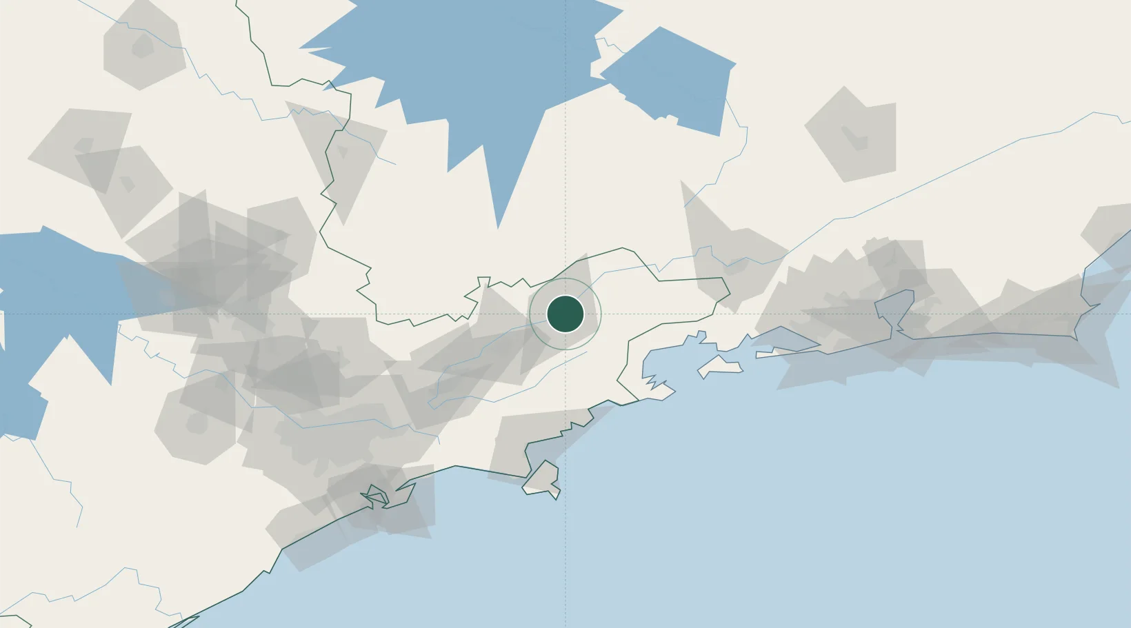
Guaratinguetá
-22.8167°, -45.1833°
118,044
Population
3
Transport functions
Transport Functions
Rail
Road
Airport
Hub Profile
Place type
Populated place
Region
São Paulo
Population
118,044
Time zone
America/Sao_Paulo
Elevation
545 m
Location
Nearby Logistics Neighbours
Cities
- 1Roseira14 km
- 2Pindamonhangaba30 km
- 3Cruzeiro37 km
- 4Taubaté44 km
- 5Caçapava62 km
Ports
- 1Angra Dos Reis92 km
- 2Sao Sebastiao112 km
- 3Santos170 km
- 4Rio De Janeiro207 km
- 5Niteroi212 km
Airports
- 1Edu Chaves Field4 km
- 2N. S. A. Heliport38 km
- 3Base de Aviação de Taubaté42 km
- 4Paraty Airport65 km
- 5Professor Urbano Ernesto Stumpf Airport83 km
Trade Zones
- 1ZPE de Itaguaí (RJ)144 km
- 2ZPE do Açú (RJ)440 km
- 3ZPE de Uberaba (MG)452 km
- 4ZPE de Fernandópolis (SP)596 km
- 5ZPE de Imbituba (SC)632 km
DatabookThe Record of Consolidated Knowledge
Brazil beyond logistics?