Transport Functions
Rail
Road
Airport
Hub Profile
Place type
Populated place
Region
Rio Grande do Sul
Population
76,917
Time zone
America/Sao_Paulo
Elevation
295 m
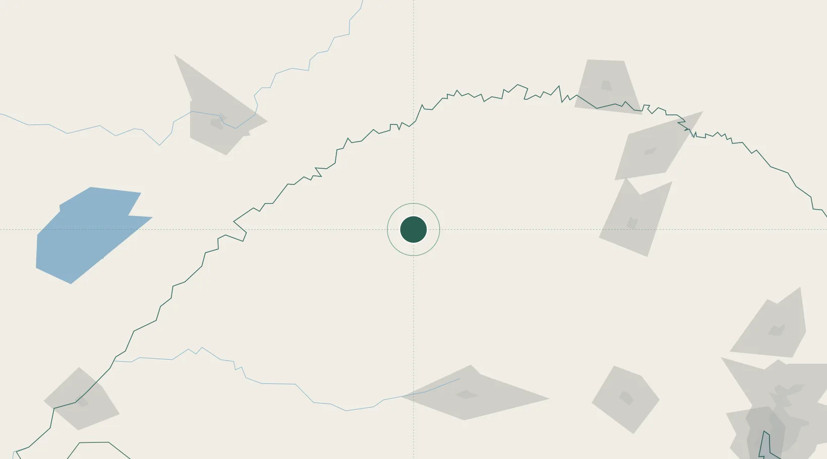
Location
Nearby Logistics Neighbours
Cities
- 1Ijuí34 km
- 2Cruz Alta74 km
- 3Porto Mauá91 km
- 4Tupanciretã94 km
- 5Porto Xavier97 km
Ports
- 1Porto Alegre351 km
- 2Pelotas429 km
- 3Tramandai441 km
- 4Rio Grande466 km
- 5Puerto De Asuncion479 km
Airports
- 1Santo Ângelo Airport8 km
- 2Luis Alberto Lehr Airport51 km
- 3Aeroestación Yabotí125 km
- 4Santa Maria Airport166 km
- 5Lauro Kurtz Airport188 km
Trade Zones
- 1Zona Franca Puerto Iguazu Free Trade Zone302 km
- 2Zona Franca Global315 km
- 3Zona Franca Internacional315 km
- 4Rivera Free Zone320 km
- 5ZPE de Rio Grande (RS)466 km
DatabookThe Record of Consolidated Knowledge
Brazil beyond logistics?