Transport Functions
Road
Multimodal
Hub Profile
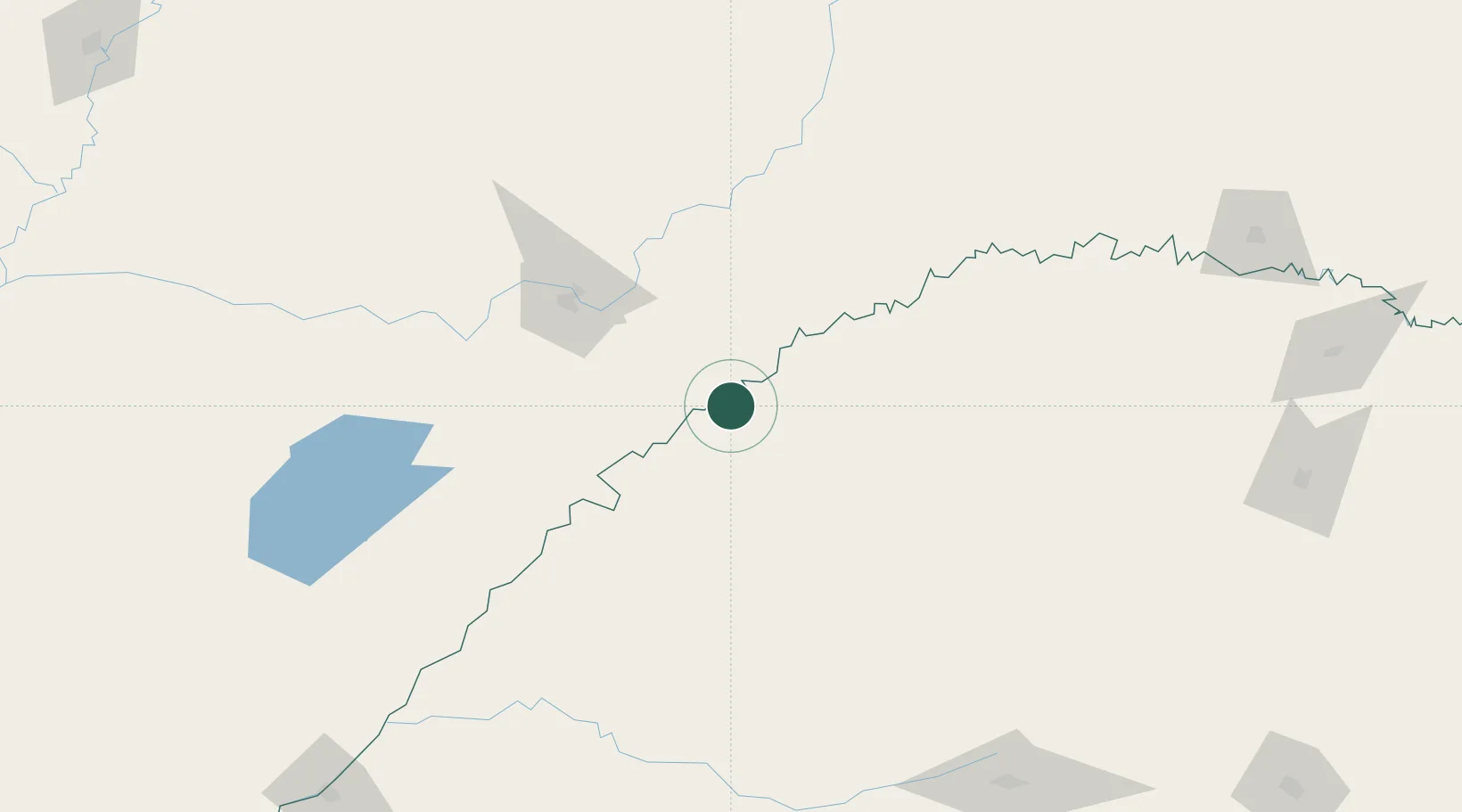
Place type
Populated place
Region
Rio Grande do Sul
Population
9,938
Time zone
America/Sao_Paulo
Elevation
104 m
Location
Nearby Logistics Neighbours
Cities
- 1Cerro Azul45 km
- 2Porto Mauá59 km
- 3Santa Ana77 km
- 4Candelaria79 km
- 5San Ignacio82 km
Ports
- 1Puerto De Asuncion387 km
- 2Porto Alegre447 km
- 3Concordia480 km
- 4Pelotas509 km
- 5Tramandai539 km
Airports
Trade Zones
- 1Zona Franca Puerto Iguazu Free Trade Zone262 km
- 2Zona Franca Global271 km
- 3Zona Franca Internacional271 km
- 4Rivera Free Zone341 km
- 5ZPE de Rio Grande (RS)546 km
DatabookThe Record of Consolidated Knowledge
Brazil beyond logistics?