Small airport · Brazil

Luis Alberto Lehr AirportSSZR
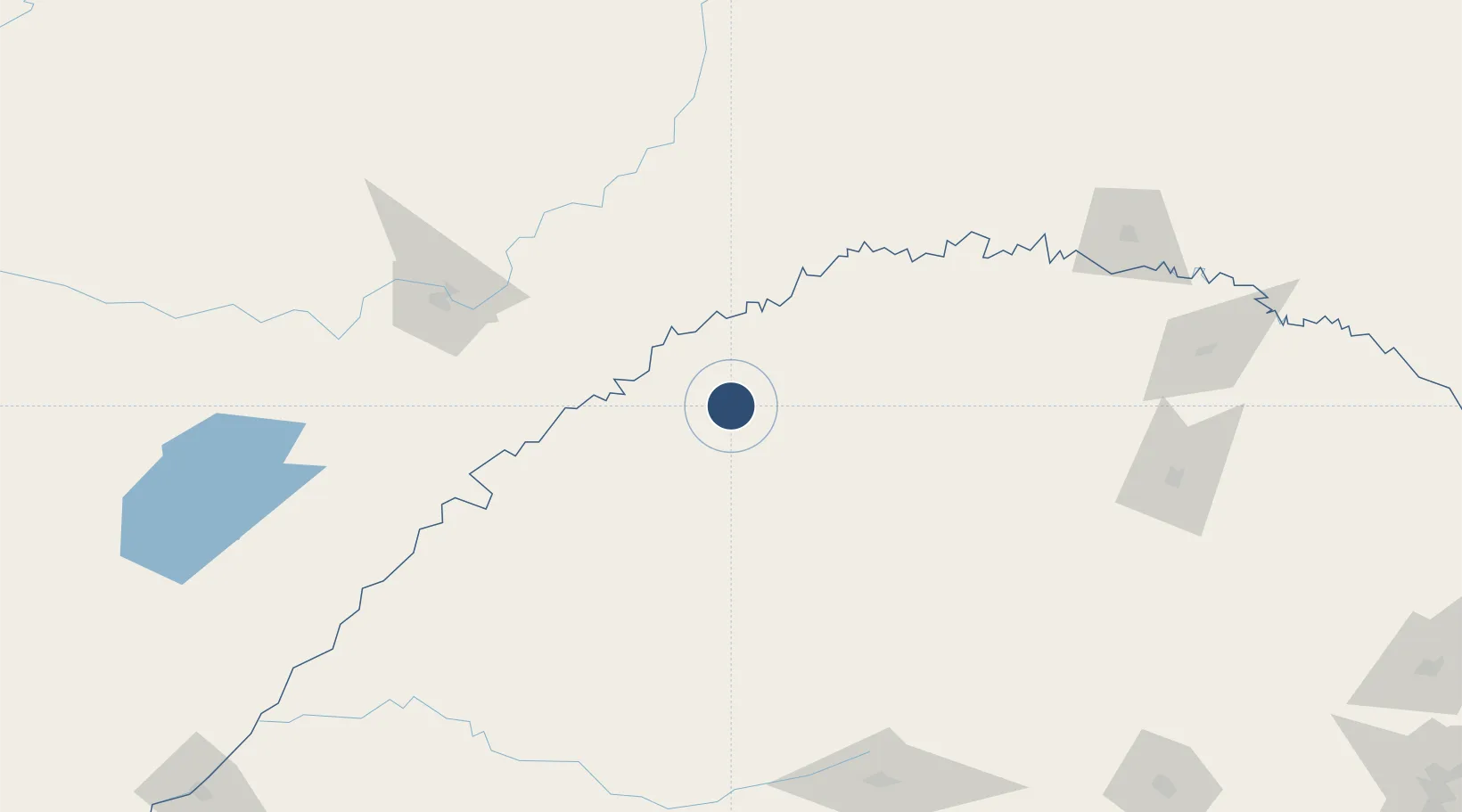
-27.9066°, -54.5206°
3,937 ft
Longest runway
1
Runways
1,014 ft
Elevation

Runway & Layout

Luis Alberto Lehr Airport runway & taxiway layout
Runway & taxiway layout — OpenStreetMap (ODbL) / OurAirports

Runways · 1

RunwayDimensions SurfaceTrue headingLit
7/25 3,937 × 98ft Asphalt
OurAirports

Airport Specifications

IATA code
SRA
OurAirports
ICAO code
SSZR
OurAirports
Airport class
Small airport
OurAirports
Scheduled service
Yes
OurAirports
Runway surface
Asphalt
OurAirports
Served city
Santa Rosa
OurAirports

Location

Location of SSZR
Natural Earth 10m (public domain) · Rio Grande do Sul · SSZR · -27.91, -54.52GoogleOSMYandex

Nearby Logistics Neighbours

Airports
  1. 1Santo Ângelo Airport54 km
  2. 2Aeroestación Yabotí91 km
  3. 3Teniente Ramon A. Ayub Gonzalez International Airport150 km
  4. 4Libertador Gral D Jose De San Martin Airport154 km
  5. 5Serafin Enoss Bertaso Airport203 km
Nearest neighbours — logibook spatial index (haversine) over the source coordinates
Cities
  1. 1Porto Mauá40 km
  2. 2Santo Ângelo51 km
  3. 3Porto Xavier60 km
  4. 4Ijuí80 km
  5. 5Cerro Azul100 km
Nearest neighbours — logibook spatial index (haversine) over the source coordinates
Ports
  1. 1Porto Alegre398 km
  2. 2Puerto De Asuncion430 km
  3. 3Pelotas480 km
  4. 4Tramandai485 km
  5. 5Concordia516 km
Nearest neighbours — logibook spatial index (haversine) over the source coordinates
Trade Zones
  1. 1Zona Franca Puerto Iguazu Free Trade Zone256 km
  2. 2Zona Franca Global269 km
  3. 3Zona Franca Internacional269 km
  4. 4Rivera Free Zone352 km
  5. 5ZPE de Rio Grande (RS)517 km
Nearest neighbours — logibook spatial index (haversine) over the source coordinates
DatabookThe Record of Consolidated Knowledge
Brazil beyond logistics?
Browse databook

All Sources

AirportsOurAirports
Public domain
Portsthe NGA World Port Index
Public domain (US gov)
LocationsUN/LOCODE
UN/LOCODE — free
Trade Zonesthe World Bank SEZ database
CC BY 4.0
Trade ZonesOpen Zone Map
CC BY
InfrastructureOpenStreetMap
ODbL 1.0
← Brazil airports