Medium airport · Brazil
Santo Ângelo AirportSBNM
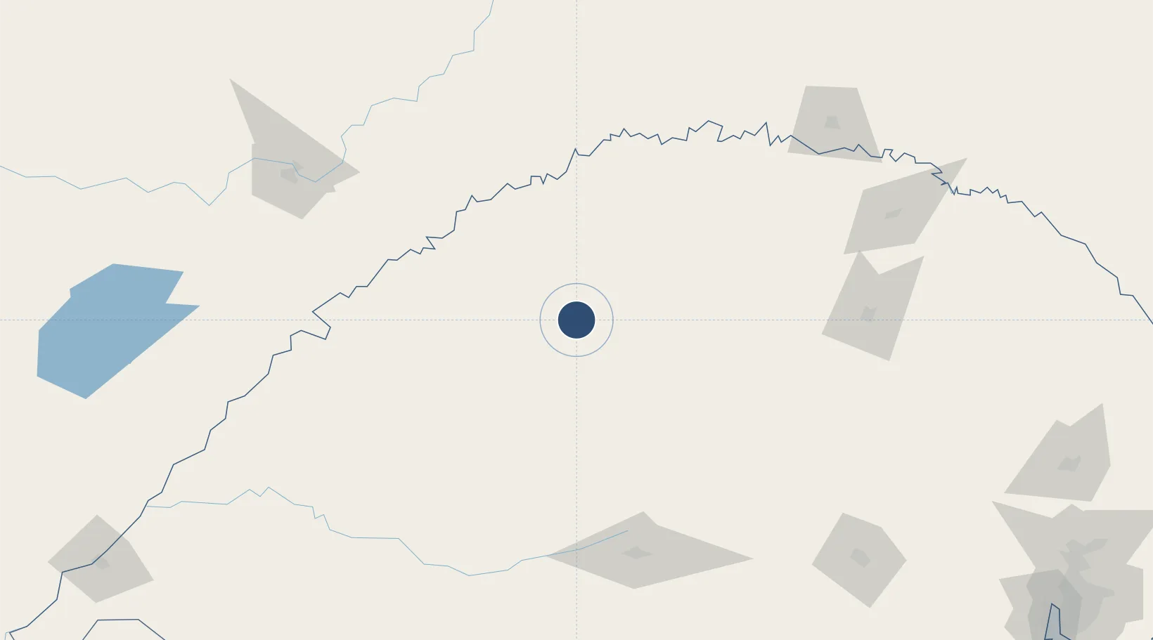
-28.2825°, -54.1696°
5,331 ft
Longest runway
1
Runways
1,056 ft
Elevation
Runway & Layout

Radio Frequencies
AFIS
131.65 MHz
RDO
Navaids
SAN NDB Santo Angelo 280 kHz
Runways · 1
| Runway | Dimensions | Surface | True heading | Lit |
|---|---|---|---|---|
| 12/30 | 5,331 × 98ft | Asphalt | — | ✓ |
Airport Specifications
IATA code
GEL
ICAO code
SBNM
Airport class
Medium airport
Scheduled service
Yes
Runway surface
Asphalt
Served city
Santo Ângelo
Location
Nearby Logistics Neighbours
Airports
- 1Luis Alberto Lehr Airport54 km
- 2Aeroestación Yabotí123 km
- 3Santa Maria Airport166 km
- 4Lauro Kurtz Airport180 km
- 5Serafin Enoss Bertaso Airport196 km
Cities
- 1Santo Ângelo8 km
- 2Ijuí27 km
- 3Cruz Alta68 km
- 4Tupanciretã93 km
- 5Porto Mauá93 km
Ports
- 1Porto Alegre345 km
- 2Pelotas428 km
- 3Tramandai435 km
- 4Rio Grande464 km
- 5Puerto De Asuncion484 km
Trade Zones
- 1Zona Franca Puerto Iguazu Free Trade Zone301 km
- 2Zona Franca Internacional315 km
- 3Zona Franca Global315 km
- 4Rivera Free Zone325 km
- 5ZPE de Rio Grande (RS)465 km
DatabookThe Record of Consolidated Knowledge
Brazil beyond logistics?