Transport Functions
Road
Multimodal
Hub Profile
Place type
Populated place
Region
Rio Grande do Sul
Population
2,142
Time zone
America/Sao_Paulo
Elevation
125 m
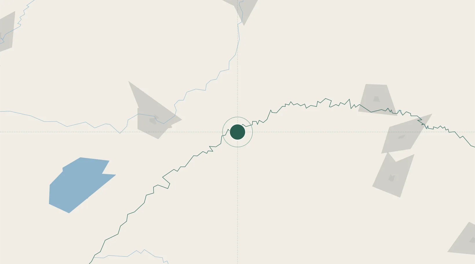
Location
Nearby Logistics Neighbours
Cities
- 1Porto Xavier59 km
- 2Ruiz de Montoya75 km
- 3Cerro Azul81 km
- 4Santo Ângelo91 km
- 5Santa Ana94 km
Ports
- 1Puerto De Asuncion395 km
- 2Porto Alegre433 km
- 3Tramandai517 km
- 4Pelotas520 km
- 5Concordia537 km
Airports
Trade Zones
- 1Zona Franca Puerto Iguazu Free Trade Zone219 km
- 2Zona Franca Global231 km
- 3Zona Franca Internacional231 km
- 4Rivera Free Zone385 km
- 5ZPE de Rio Grande (RS)557 km
DatabookThe Record of Consolidated Knowledge
Brazil beyond logistics?