Medium airport · Brazil
Lauro Kurtz AirportSBPF
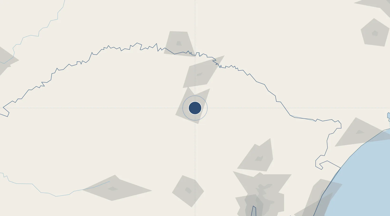
-28.2440°, -52.3278°
5,512 ft
Longest runway
1
Runways
2,380 ft
Elevation
Runway & Layout

Radio Frequencies
AFIS
131.25 MHz
PASSO FUNDO RDO
Navaids
PFD VOR Passo Fundo 112.70 MHz
PFD NDB Passo Fundo 370 kHz
Runways · 1
| Runway | Dimensions | Surface | True heading | Lit |
|---|---|---|---|---|
| 09/27 | 5,512 × 98ft | Asphalt | — | — |
Airport Specifications
IATA code
PFB
ICAO code
SBPF
Airport class
Medium airport
Scheduled service
Yes
Runway surface
Asphalt
Served city
Passo Fundo
Location
Nearby Logistics Neighbours
Airports
- 1Serafin Enoss Bertaso Airport128 km
- 2Hugo Cantergiani Regional Airport154 km
- 3Santo Ângelo Airport180 km
- 4Canela Airport192 km
- 5Planalto Serrano Regional Airport205 km
Cities
- 1Passo Fundo7 km
- 2Cruz Alta132 km
- 3Estrela144 km
- 4Caxias do Sul153 km
- 5Ijuí156 km
Ports
- 1Porto Alegre226 km
- 2Tramandai288 km
- 3Laguna348 km
- 4Imbituba359 km
- 5Itajai393 km
Trade Zones
- 1Zona Franca Puerto Iguazu Free Trade Zone368 km
- 2ZPE de Imbituba (SC)377 km
- 3Zona Franca Internacional386 km
- 4Zona Franca Global387 km
- 5ZPE de Rio Grande (RS)428 km
DatabookThe Record of Consolidated Knowledge
Brazil beyond logistics?