Transport Functions
Rail
Road
Airport
Hub Profile
Place type
Populated place
Region
Rio Grande do Sul
Population
58,913
Time zone
America/Sao_Paulo
Elevation
475 m
Logistics facilities
1
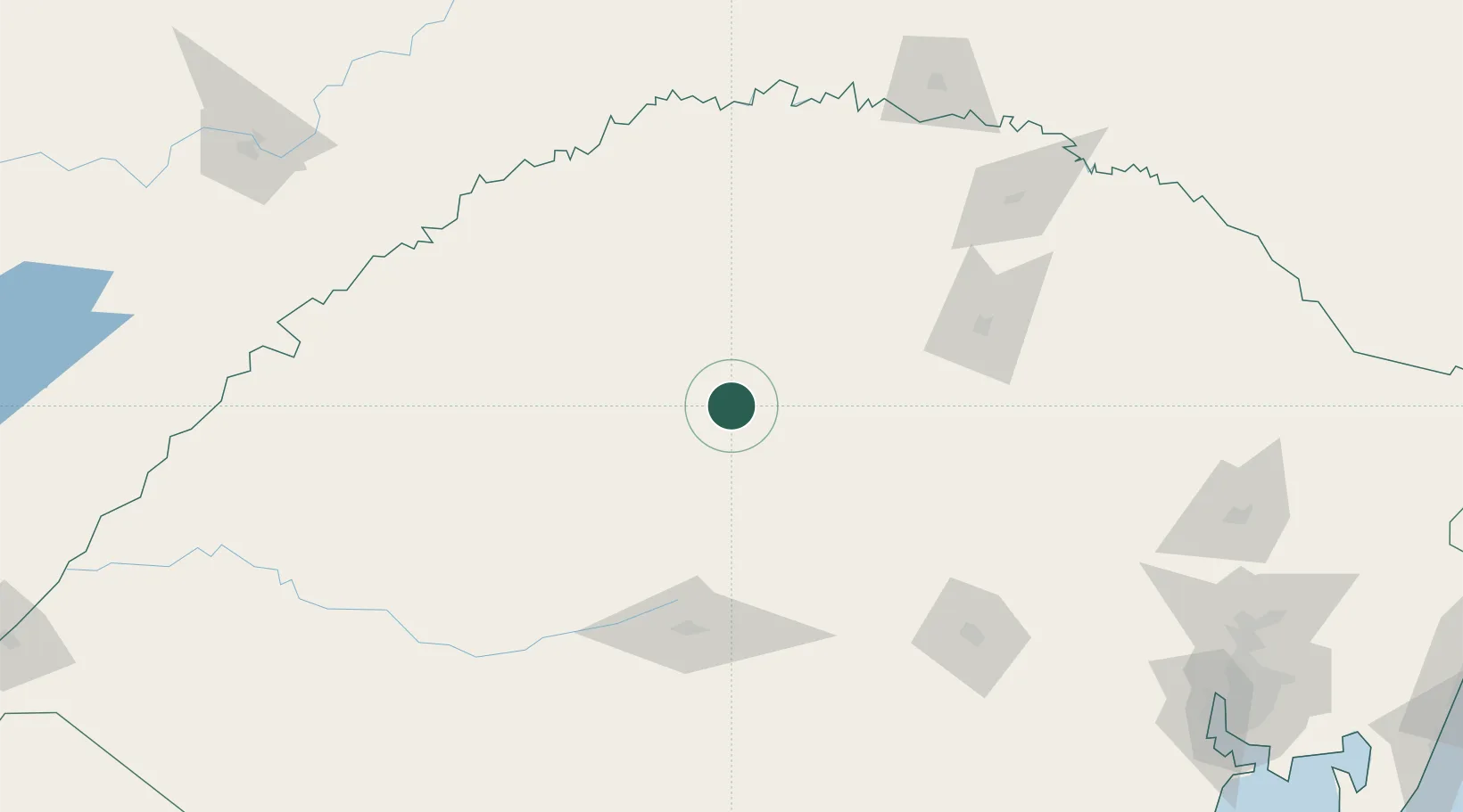
Location
Nearby Logistics Neighbours
Cities
- 1Ijuí42 km
- 2Tupanciretã53 km
- 3Júlio de Castilhos65 km
- 4Santo Ângelo74 km
- 5Santa Maria118 km
Ports
- 1Porto Alegre277 km
- 2Tramandai368 km
- 3Pelotas371 km
- 4Rio Grande407 km
- 5Laguna471 km
Airports
- 1Santo Ângelo Airport68 km
- 2Santa Maria Airport120 km
- 3Luis Alberto Lehr Airport121 km
- 4Lauro Kurtz Airport132 km
- 5Aeroestación Yabotí169 km
Trade Zones
- 1Rivera Free Zone319 km
- 2Zona Franca Puerto Iguazu Free Trade Zone350 km
- 3Zona Franca Internacional366 km
- 4Zona Franca Global366 km
- 5ZPE de Rio Grande (RS)408 km
DatabookThe Record of Consolidated Knowledge
Brazil beyond logistics?