Transport Functions
Rail
Road
Hub Profile
Place type
Populated place
Region
Rio Grande do Sul
Population
20,005
Time zone
America/Sao_Paulo
Elevation
464 m
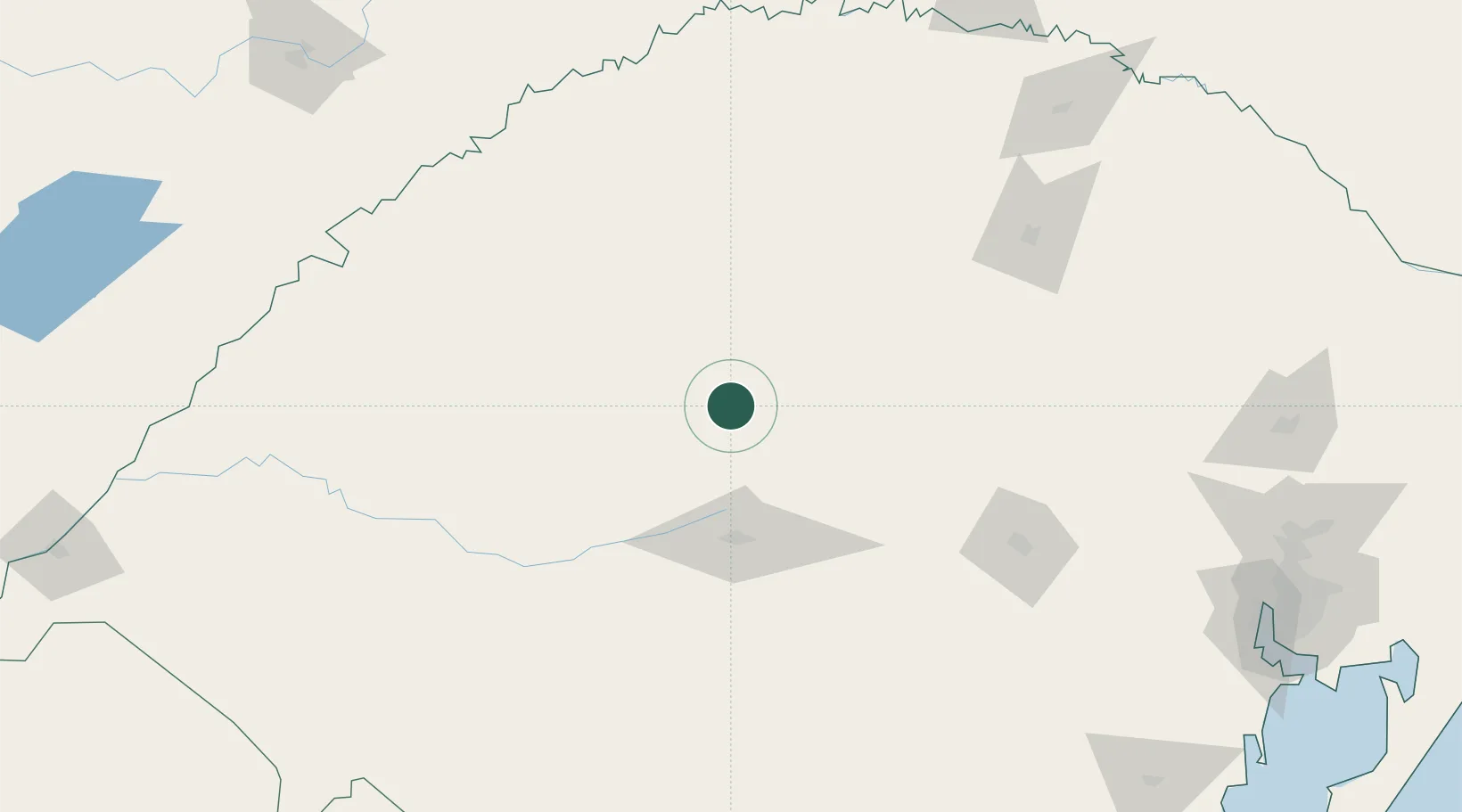
Location
Nearby Logistics Neighbours
Cities
- 1Júlio de Castilhos23 km
- 2Cruz Alta53 km
- 3Santa Maria69 km
- 4Ijuí76 km
- 5Santo Ângelo94 km
Ports
- 1Porto Alegre274 km
- 2Pelotas335 km
- 3Rio Grande372 km
- 4Tramandai372 km
- 5Concordia480 km
Airports
- 1Santa Maria Airport73 km
- 2Santo Ângelo Airport93 km
- 3Luis Alberto Lehr Airport145 km
- 4Lauro Kurtz Airport173 km
- 5Aeroestación Yabotí212 km
Trade Zones
- 1Rivera Free Zone267 km
- 2ZPE de Rio Grande (RS)372 km
- 3Zona Franca Puerto Iguazu Free Trade Zone392 km
- 4Zona Franca Internacional407 km
- 5Zona Franca Global407 km
DatabookThe Record of Consolidated Knowledge
Brazil beyond logistics?