Transport Functions
Rail
Road
Airport
Hub Profile
Place type
Populated place
Region
Rio Grande do Sul
Population
84,780
Time zone
America/Sao_Paulo
Elevation
329 m
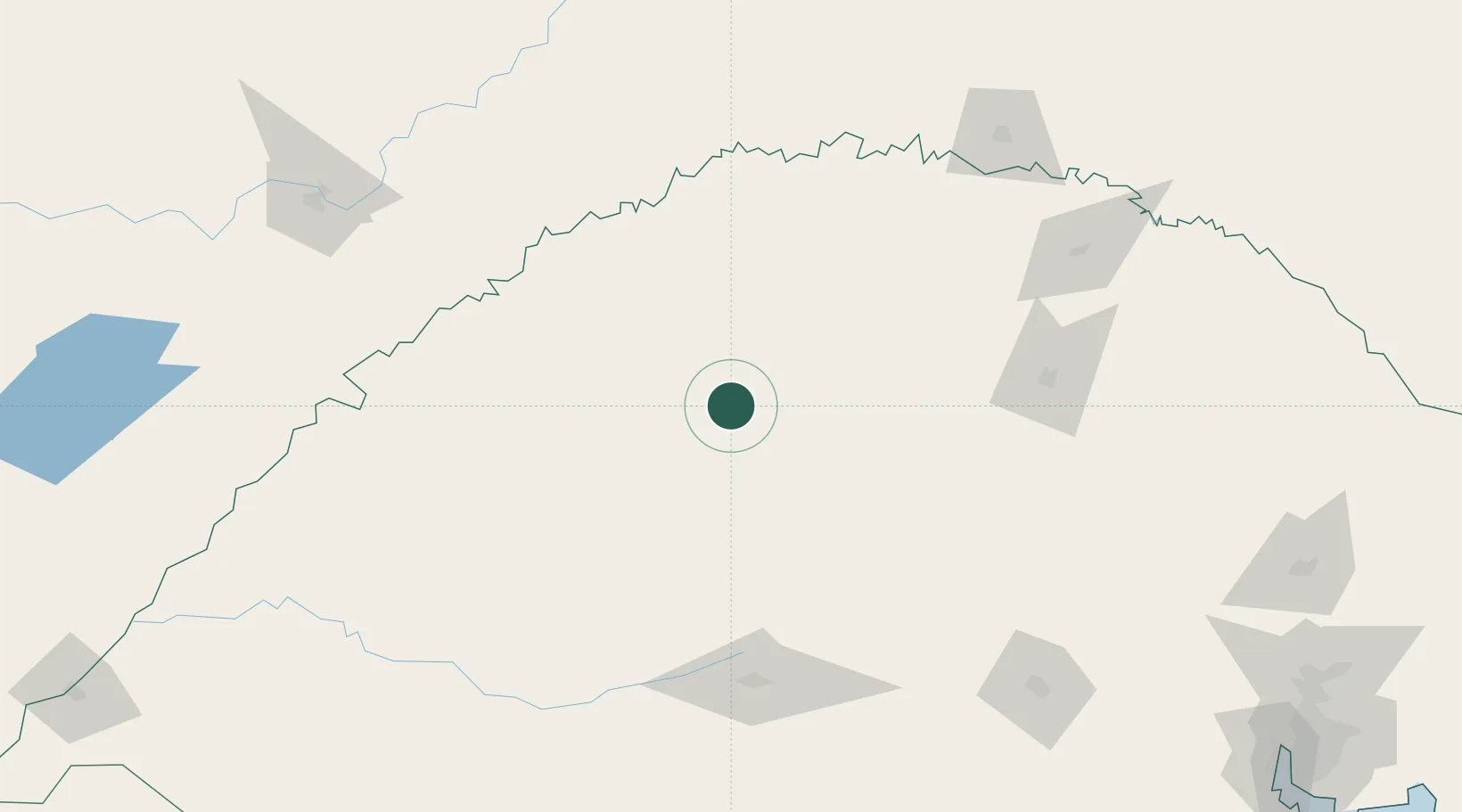
Location
Nearby Logistics Neighbours
Cities
- 1Santo Ângelo34 km
- 2Cruz Alta42 km
- 3Tupanciretã76 km
- 4Júlio de Castilhos96 km
- 5Porto Mauá117 km
Ports
- 1Porto Alegre319 km
- 2Pelotas408 km
- 3Tramandai408 km
- 4Rio Grande444 km
- 5Laguna502 km
Airports
- 1Santo Ângelo Airport27 km
- 2Luis Alberto Lehr Airport80 km
- 3Aeroestación Yabotí135 km
- 4Santa Maria Airport149 km
- 5Lauro Kurtz Airport156 km
Trade Zones
- 1Zona Franca Puerto Iguazu Free Trade Zone316 km
- 2Rivera Free Zone326 km
- 3Zona Franca Internacional331 km
- 4Zona Franca Global331 km
- 5ZPE de Rio Grande (RS)445 km
DatabookThe Record of Consolidated Knowledge
Brazil beyond logistics?