Transport Functions
Rail
Road
Multimodal
Hub Profile
Place type
Populated place
Region
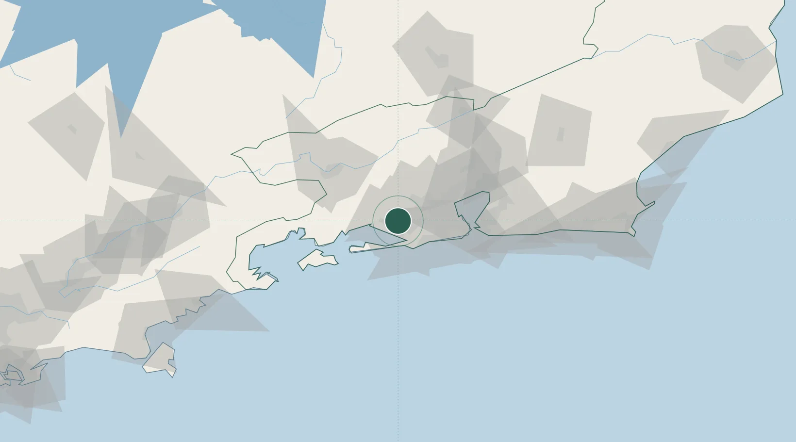
Rio de Janeiro
Population
123,980
Time zone
America/Sao_Paulo
Elevation
31 m
Logistics facilities
4
Location
Nearby Logistics Neighbours
Cities
- 1Itaguaí Pt = Sepetiba Pt14 km
- 2Mesquita28 km
- 3Duque de Caxias39 km
- 4Mangaratiba39 km
- 5Rio de Janeiro40 km
Ports
- 1Rio De Janeiro51 km
- 2Niteroi56 km
- 3Angra Dos Reis69 km
- 4Porto Do Forno169 km
- 5Macae203 km
Airports
Trade Zones
- 1ZPE de Itaguaí (RJ)12 km
- 2ZPE do Açú (RJ)293 km
- 3ZPE de Aracruz (ES)511 km
- 4ZPE de Uberaba (MG)570 km
- 5ZPE de Teófilo Otoni (MG)601 km
DatabookThe Record of Consolidated Knowledge
Brazil beyond logistics?