Transport Functions
Rail
Road
Hub Profile
Place type
Populated place
Region
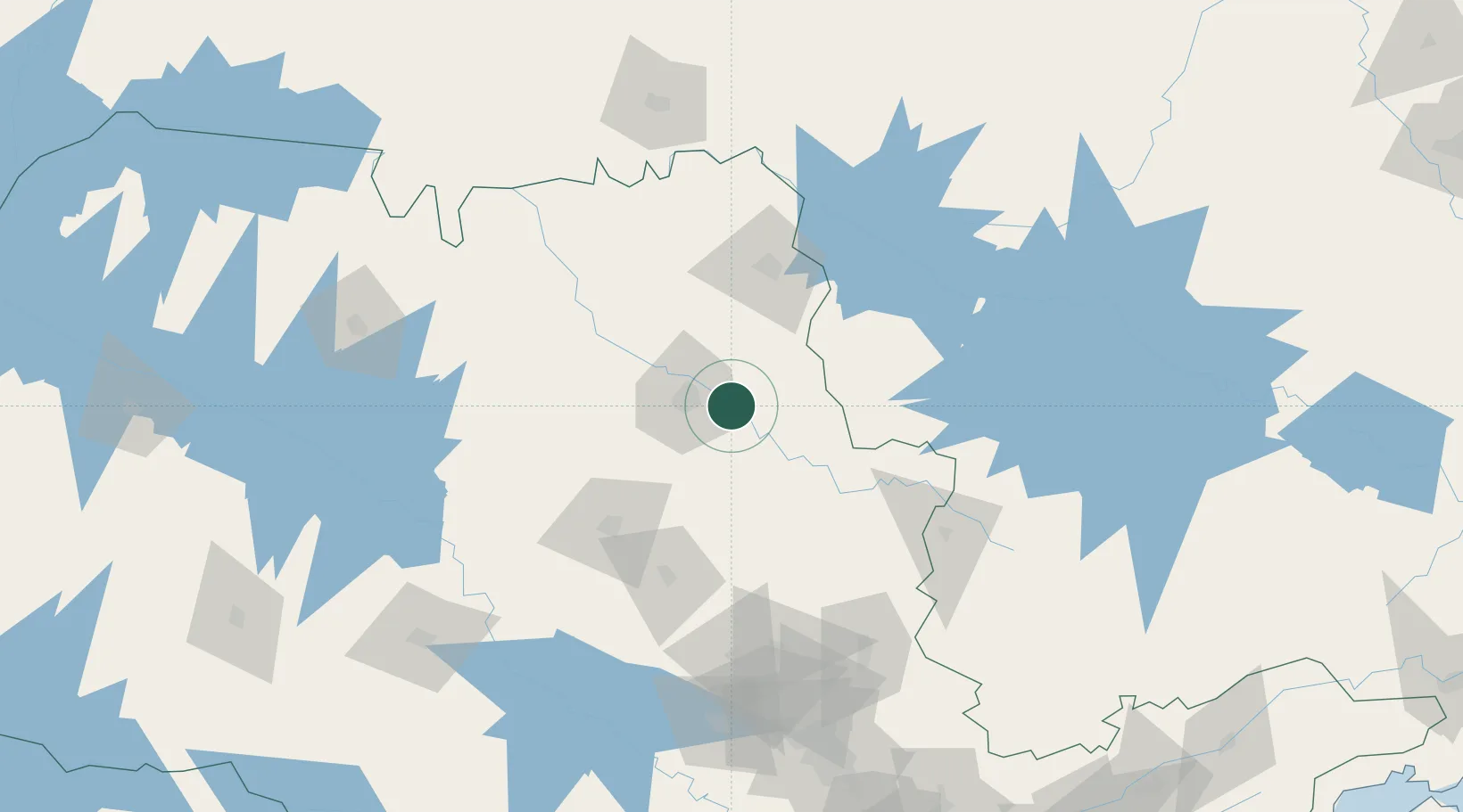
São Paulo
Population
43,909
Time zone
America/Sao_Paulo
Elevation
560 m
Location
Nearby Logistics Neighbours
Cities
- 1Ribeirão Preto20 km
- 2Pradópolis51 km
- 3São Joaquim da Barra76 km
- 4Araraquara82 km
- 5Guará90 km
Ports
- 1Santos333 km
- 2Sao Sebastiao366 km
- 3Angra Dos Reis393 km
- 4Paranagua488 km
- 5Rio De Janeiro493 km
Airports
Trade Zones
- 1ZPE de Uberaba (MG)172 km
- 2ZPE de Fernandópolis (SP)297 km
- 3ZPE de Itaguaí (RJ)436 km
- 4ZPE de Bataguassú (MS)503 km
- 5ZPE do Açú (RJ)680 km
DatabookThe Record of Consolidated Knowledge
Brazil beyond logistics?