Transport Functions
Rail
Road
Hub Profile
Place type
Populated place
Region
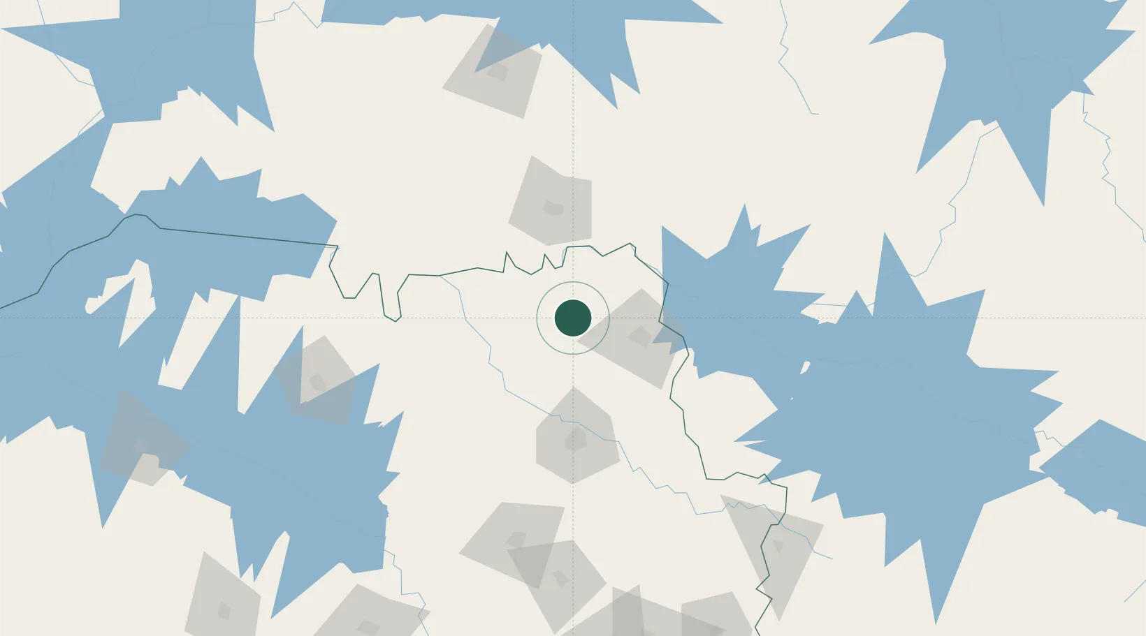
São Paulo
Population
18,606
Time zone
America/Sao_Paulo
Elevation
575 m
Location
Nearby Logistics Neighbours
Cities
- 1Ituverava11 km
- 2São Joaquim da Barra17 km
- 3Ribeirão Preto81 km
- 4Uberaba82 km
- 5Serrana90 km
Ports
- 1Santos423 km
- 2Sao Sebastiao451 km
- 3Angra Dos Reis463 km
- 4Rio De Janeiro554 km
- 5Niteroi558 km
Airports
- 1Mário de Almeida Franco Airport74 km
- 2Leite Lopes Airport80 km
- 3Chafei Amsei Airport83 km
- 4Romeu Zema Airport130 km
- 5Araraquara Airport159 km
Trade Zones
- 1ZPE de Uberaba (MG)82 km
- 2ZPE de Fernandópolis (SP)257 km
- 3ZPE de Bataguassú (MS)497 km
- 4ZPE de Itaguaí (RJ)501 km
- 5ZPE do Açú (RJ)720 km
DatabookThe Record of Consolidated Knowledge
Brazil beyond logistics?