Transport Functions
Rail
Road
Airport
Hub Profile
Place type
Populated place
Region
São Paulo
Population
168,468
Time zone
America/Sao_Paulo
Elevation
677 m
Logistics facilities
1
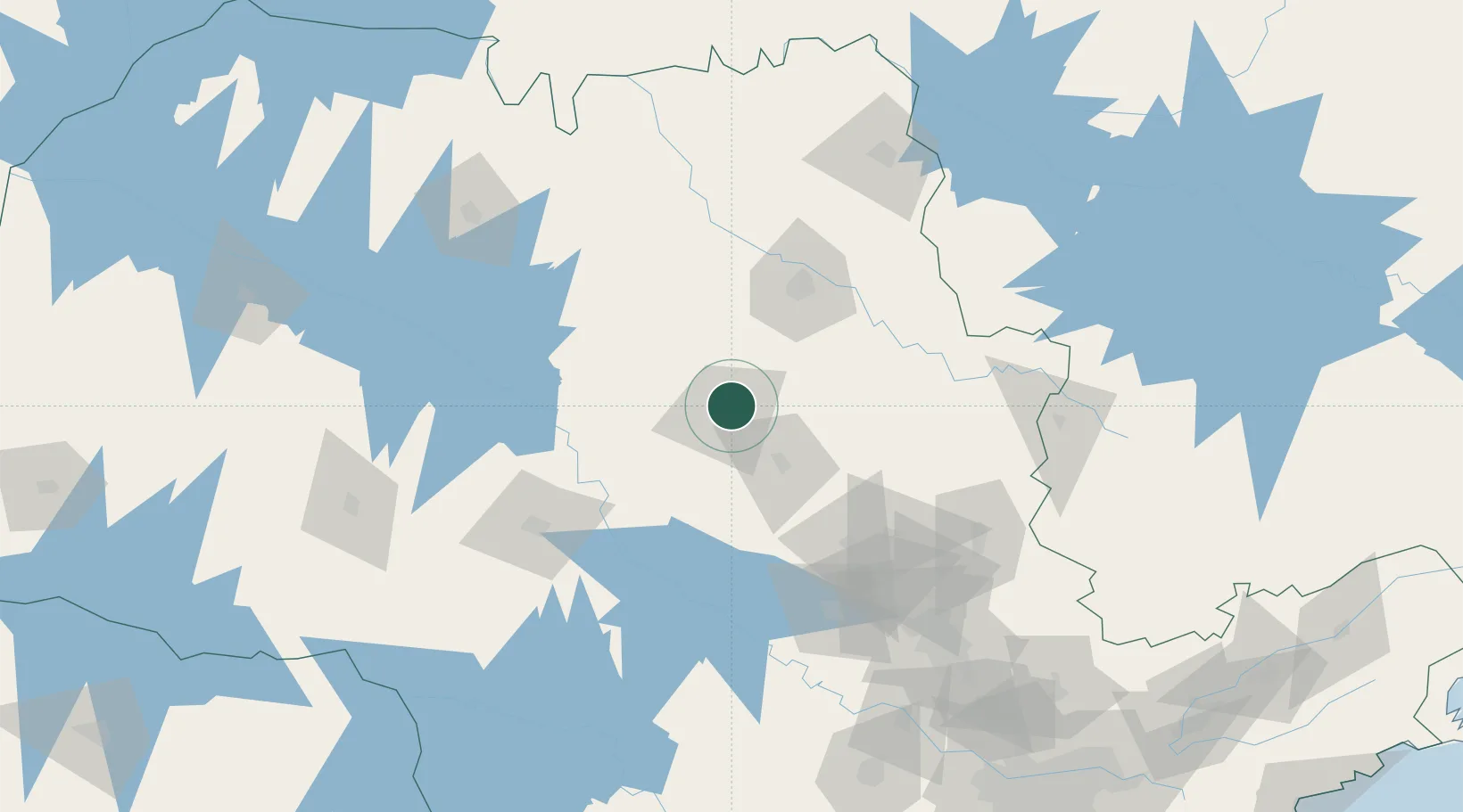
Location
Nearby Logistics Neighbours
Cities
- 1Pradópolis44 km
- 2Itirapina65 km
- 3Bariri72 km
- 4Jaú75 km
- 5Ribeirão Preto77 km
Ports
- 1Santos309 km
- 2Sao Sebastiao362 km
- 3Angra Dos Reis417 km
- 4Paranagua420 km
- 5Sao Francisco504 km
Airports
- 1Araraquara Airport8 km
- 2Leite Lopes Airport77 km
- 3Campo Fontenelle86 km
- 4Bauru/Arealva–Moussa Nakhal Tobias State Airport108 km
- 5Chafei Amsei Airport137 km
Trade Zones
- 1ZPE de Uberaba (MG)228 km
- 2ZPE de Fernandópolis (SP)274 km
- 3ZPE de Bataguassú (MS)442 km
- 4ZPE de Itaguaí (RJ)466 km
- 5ZPE de Imbituba (SC)655 km
DatabookThe Record of Consolidated Knowledge
Brazil beyond logistics?