Medium airport · Brazil
Campo FontenelleSBYS
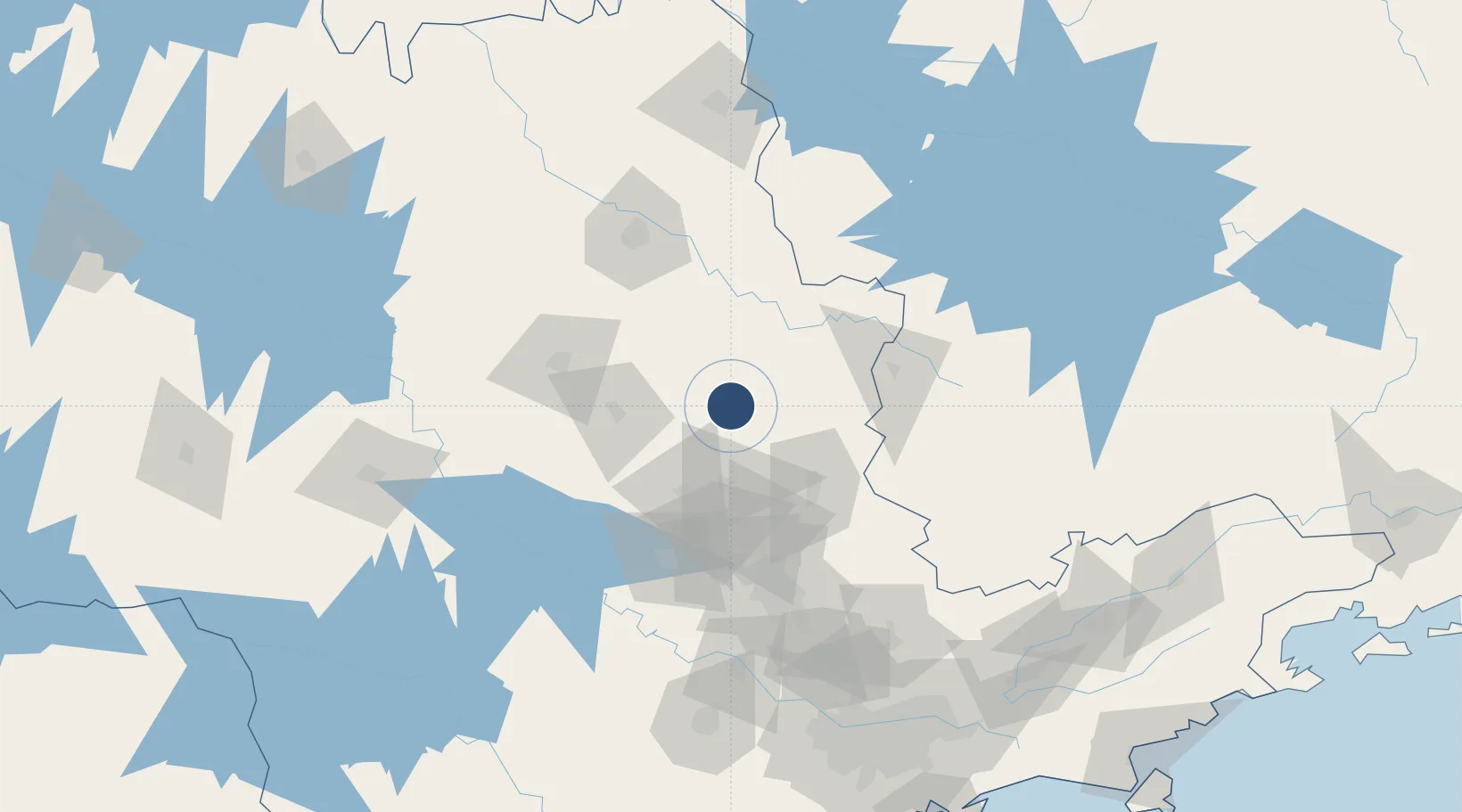
-21.9847°, -47.3412°
6,923 ft
Longest runway
3
Runways
1,968 ft
Elevation
Runway & Layout

Radio Frequencies
TWR
118.3 MHz
ACADEMIA TWR
GND
121.9 MHz
APP
120.1 MHz
ACADEMIA APP
OPS
130.7 MHz
Navaids
PSN VOR-DME Piracununga 113.30 MHz
PSN NDB Piracununga 310 kHz
Runways · 3
| Runway | Dimensions | Surface | True heading | Lit |
|---|---|---|---|---|
| 02C/20C | 6,923 × 148ft | Asphalt | 002° | — |
| 02L/20R | 6,916 × 148ft | Asphalt | 002° | — |
| 02R/20L | 6,916 × 148ft | Asphalt | 002° | — |
Airport Specifications
IATA code
QPS
ICAO code
SBYS
Airport class
Medium airport
Scheduled service
No
Runway surface
Asphalt
Served city
Pirassununga
Location
Nearby Logistics Neighbours
Airports
Cities
- 1Itirapina57 km
- 2Mogi Guaçu58 km
- 3São Pedro84 km
- 4Poços de Caldas85 km
- 5Araraquara86 km
Ports
- 1Santos243 km
- 2Sao Sebastiao283 km
- 3Angra Dos Reis331 km
- 4Paranagua409 km
- 5Rio De Janeiro441 km
Trade Zones
- 1ZPE de Uberaba (MG)263 km
- 2ZPE de Fernandópolis (SP)357 km
- 3ZPE de Itaguaí (RJ)380 km
- 4ZPE de Bataguassú (MS)524 km
- 5ZPE de Imbituba (SC)638 km
DatabookThe Record of Consolidated Knowledge
Brazil beyond logistics?