UN/LOCODE hub · Brazil
BRSJB
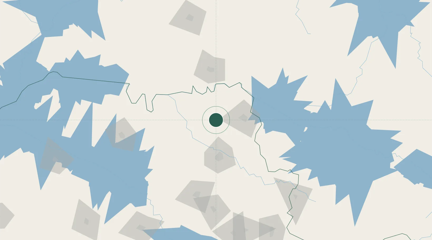
São Joaquim da Barra
-20.5667°, -47.8500°
48,558
Population
3
Transport functions
Transport Functions
Rail
Road
Airport
Hub Profile
Place type
Populated place
Region
São Paulo
Population
48,558
Time zone
America/Sao_Paulo
Elevation
623 m
Location
Nearby Logistics Neighbours
Cities
- 1Guará17 km
- 2Ituverava27 km
- 3Ribeirão Preto65 km
- 4Serrana76 km
- 5Pradópolis90 km
Ports
- 1Santos409 km
- 2Sao Sebastiao439 km
- 3Angra Dos Reis455 km
- 4Rio De Janeiro549 km
- 5Niteroi553 km
Airports
- 1Leite Lopes Airport64 km
- 2Chafei Amsei Airport78 km
- 3Mário de Almeida Franco Airport90 km
- 4Araraquara Airport142 km
- 5Romeu Zema Airport145 km
Trade Zones
- 1ZPE de Uberaba (MG)98 km
- 2ZPE de Fernandópolis (SP)255 km
- 3ZPE de Bataguassú (MS)489 km
- 4ZPE de Itaguaí (RJ)495 km
- 5ZPE do Açú (RJ)720 km
DatabookThe Record of Consolidated Knowledge
Brazil beyond logistics?