UN/LOCODE hub · Brazil
BRRAO
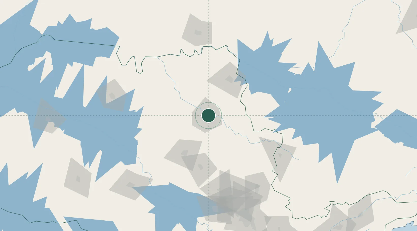
Ribeirão Preto
-21.1414°, -47.7611°
711,825
Population
4
Transport functions
Transport Functions
Rail
Road
Airport
Multimodal
Hub Profile
Place type
Provincial seat
Region
São Paulo
Population
711,825
Time zone
America/Sao_Paulo
Elevation
554 m
Logistics facilities
1
Location
Nearby Logistics Neighbours
Cities
- 1Serrana20 km
- 2Pradópolis38 km
- 3São Joaquim da Barra65 km
- 4Araraquara77 km
- 5Guará81 km
Ports
- 1Santos347 km
- 2Sao Sebastiao382 km
- 3Angra Dos Reis412 km
- 4Paranagua491 km
- 5Rio De Janeiro512 km
Airports
Trade Zones
- 1ZPE de Uberaba (MG)162 km
- 2ZPE de Fernandópolis (SP)278 km
- 3ZPE de Itaguaí (RJ)455 km
- 4ZPE de Bataguassú (MS)485 km
- 5ZPE do Açú (RJ)700 km
DatabookThe Record of Consolidated Knowledge
Brazil beyond logistics?