Medium airport · Brazil

Araraquara AirportSBAQ
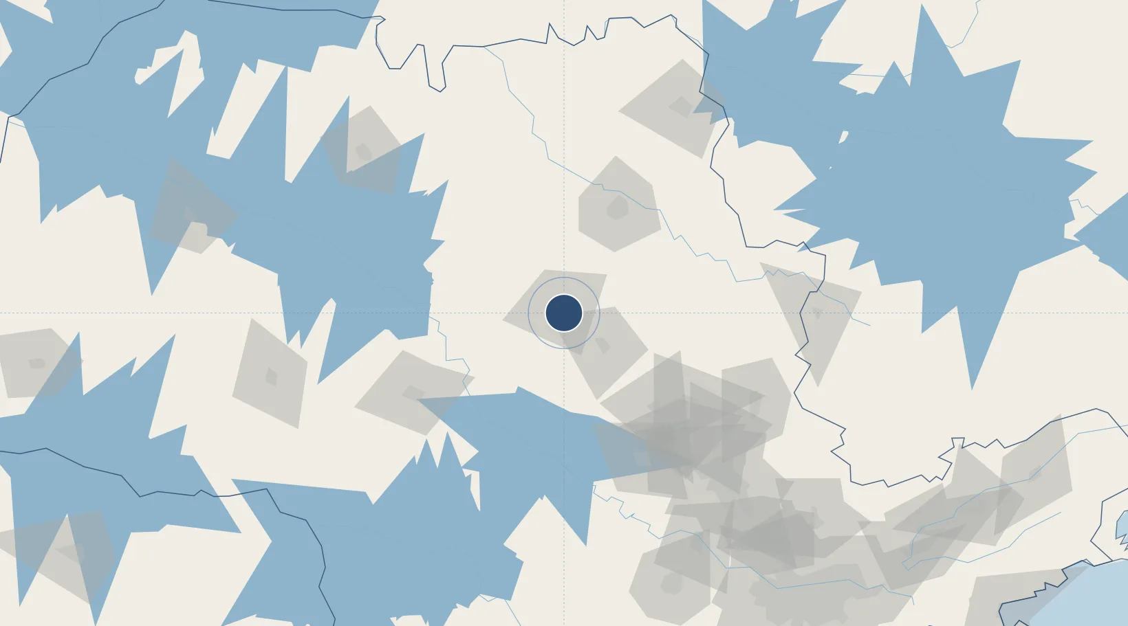
-21.8120°, -48.1330°
5,907 ft
Longest runway
1
Runways
2,334 ft
Elevation

Runway & Layout

Araraquara Airport runway & taxiway layout
Runway & taxiway layout — OpenStreetMap (ODbL) / OurAirports

Radio Frequencies

AFIS
131.6 MHz
RDO
OurAirports

Navaids

AAQ NDB Araraquara 205 kHz
OurAirports

Runways · 1

RunwayDimensions SurfaceTrue headingLit
17/35 5,907 × 99ft Asphalt 186°
OurAirports

Airport Specifications

IATA code
AQA
OurAirports
ICAO code
SBAQ
OurAirports
Airport class
Medium airport
OurAirports
Scheduled service
Yes
OurAirports
Runway surface
Asphalt
OurAirports
Served city
Araraquara
OurAirports

Location

Location of SBAQ
Natural Earth 10m (public domain) · São Paulo · SBAQ · -21.81, -48.13GoogleOSMYandex

Nearby Logistics Neighbours

Airports
  1. 1Campo Fontenelle84 km
  2. 2Leite Lopes Airport84 km
  3. 3Bauru/Arealva–Moussa Nakhal Tobias State Airport104 km
  4. 4Chafei Amsei Airport145 km
  5. 5Poços de Caldas - Embaixador Walther Moreira Salles Airport161 km
Nearest neighbours — logibook spatial index (haversine) over the source coordinates
Cities
  1. 1Araraquara8 km
  2. 2Pradópolis52 km
  3. 3Itirapina59 km
  4. 4Jaú68 km
  5. 5Bariri68 km
Nearest neighbours — logibook spatial index (haversine) over the source coordinates
Ports
  1. 1Santos303 km
  2. 2Sao Sebastiao357 km
  3. 3Paranagua412 km
  4. 4Angra Dos Reis415 km
  5. 5Sao Francisco496 km
Nearest neighbours — logibook spatial index (haversine) over the source coordinates
Trade Zones
  1. 1ZPE de Uberaba (MG)236 km
  2. 2ZPE de Fernandópolis (SP)279 km
  3. 3ZPE de Bataguassú (MS)442 km
  4. 4ZPE de Itaguaí (RJ)464 km
  5. 5ZPE de Imbituba (SC)646 km
Nearest neighbours — logibook spatial index (haversine) over the source coordinates
DatabookThe Record of Consolidated Knowledge
Brazil beyond logistics?
Browse databook

All Sources

AirportsOurAirports
Public domain
Portsthe NGA World Port Index
Public domain (US gov)
LocationsUN/LOCODE
UN/LOCODE — free
Trade Zonesthe World Bank SEZ database
CC BY 4.0
Trade ZonesOpen Zone Map
CC BY
InfrastructureOpenStreetMap
ODbL 1.0
← Brazil airports