Medium airport · Brazil
Poços de Caldas - Embaixador Walther Moreira Salles AirportSBPC
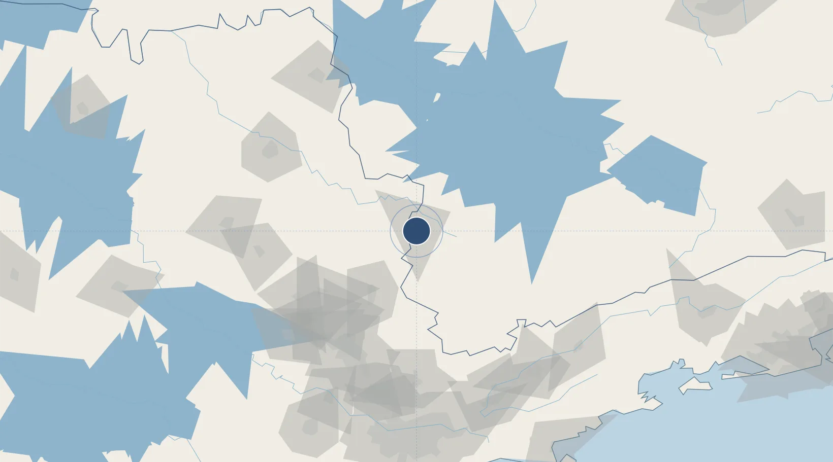
-21.8425°, -46.5698°
4,970 ft
Longest runway
1
Runways
4,138 ft
Elevation
Runway & Layout

Radio Frequencies
AFIS
126.6 MHz
RDO
Navaids
PCL NDB Pocos 415 kHz
Runways · 1
| Runway | Dimensions | Surface | True heading | Lit |
|---|---|---|---|---|
| 9/27 | 4,970 × 98ft | Asphalt | — | — |
Airport Specifications
IATA code
POO
ICAO code
SBPC
Airport class
Medium airport
Scheduled service
No
Runway surface
Asphalt
Served city
Poços De Caldas
Location
Nearby Logistics Neighbours
Airports
- 1Campo Fontenelle81 km
- 2Major Brigadeiro Trompowsky Airport117 km
- 3Viracopos International Airport142 km
- 4N. S. A. Heliport145 km
- 5Leite Lopes Airport147 km
Cities
- 1Poços de Caldas7 km
- 2Guaxupé63 km
- 3Mogi Guaçu68 km
- 4Pouso Alegre78 km
- 5Paulínia117 km
Ports
- 1Santos236 km
- 2Sao Sebastiao249 km
- 3Angra Dos Reis266 km
- 4Rio De Janeiro369 km
- 5Niteroi374 km
Trade Zones
- 1ZPE de Uberaba (MG)280 km
- 2ZPE de Itaguaí (RJ)311 km
- 3ZPE de Fernandópolis (SP)421 km
- 4ZPE do Açú (RJ)571 km
- 5ZPE de Bataguassú (MS)603 km
DatabookThe Record of Consolidated Knowledge
Brazil beyond logistics?