Transport Functions
Rail
Road
Hub Profile
Place type
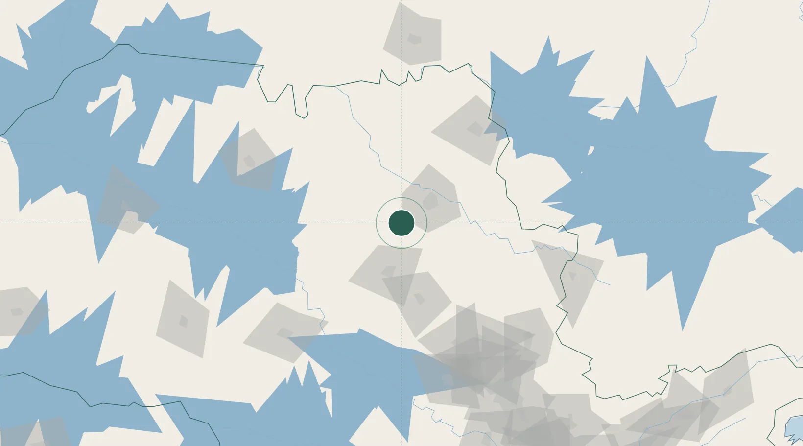
Populated place
Region
São Paulo
Population
17,078
Time zone
America/Sao_Paulo
Elevation
539 m
Location
Nearby Logistics Neighbours
Cities
- 1Ribeirão Preto38 km
- 2Araraquara44 km
- 3Serrana51 km
- 4São Joaquim da Barra90 km
- 5Itirapina103 km
Ports
- 1Santos340 km
- 2Sao Sebastiao385 km
- 3Angra Dos Reis427 km
- 4Paranagua464 km
- 5Rio De Janeiro532 km
Airports
- 1Leite Lopes Airport37 km
- 2Araraquara Airport52 km
- 3Campo Fontenelle102 km
- 4Chafei Amsei Airport102 km
- 5Bauru/Arealva–Moussa Nakhal Tobias State Airport139 km
Trade Zones
- 1ZPE de Uberaba (MG)184 km
- 2ZPE de Fernandópolis (SP)259 km
- 3ZPE de Bataguassú (MS)453 km
- 4ZPE de Itaguaí (RJ)473 km
- 5ZPE de Imbituba (SC)698 km
DatabookThe Record of Consolidated Knowledge
Brazil beyond logistics?