Medium airport · Brazil

Leite Lopes AirportSBRP
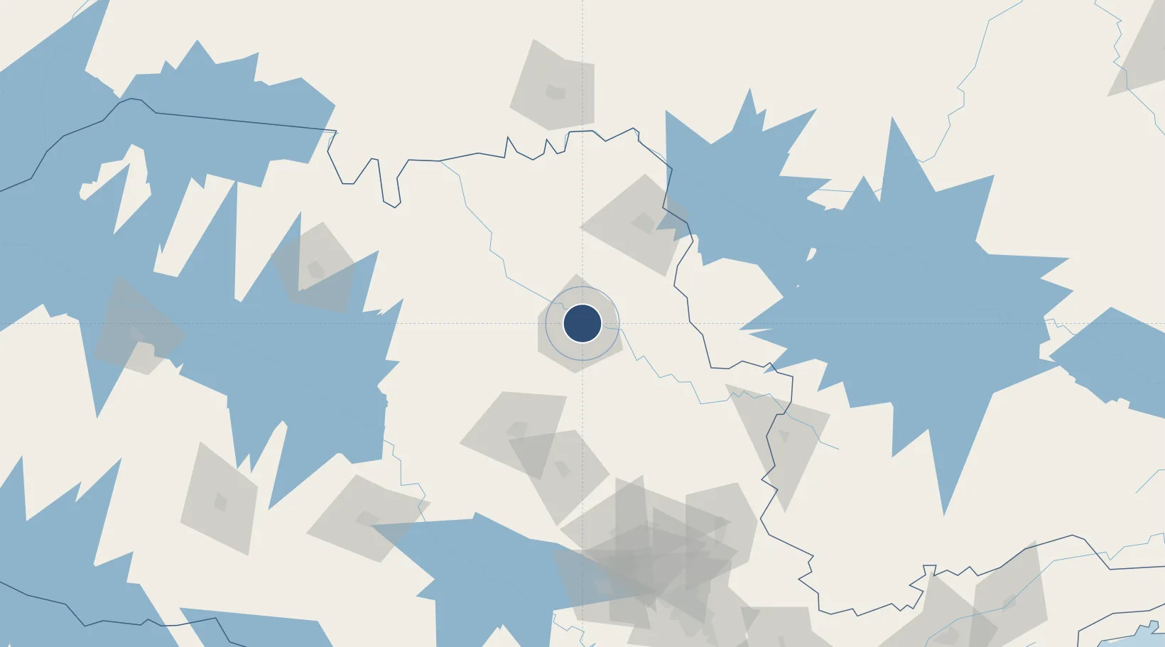
-21.1343°, -47.7741°
6,890 ft
Longest runway
1
Runways
1,805 ft
Elevation

Runway & Layout

Leite Lopes Airport runway & taxiway layout
Runway & taxiway layout — OpenStreetMap (ODbL) / OurAirports

Radio Frequencies

ATIS
127.425 MHz
TWR
118 MHz
RIBEIRAO TWR
APP
119.55 MHz
RIBEIRAO APP
AFIS
118 MHz
RIBEIRAO RDO
OurAirports

Navaids

RPR NDB Ribeirao 330 kHz
OurAirports

Runways · 1

RunwayDimensions SurfaceTrue headingLit
18/36 6,890 × 148ft Asphalt 160°
OurAirports

Airport Specifications

IATA code
RAO
OurAirports
ICAO code
SBRP
OurAirports
Airport class
Medium airport
OurAirports
Scheduled service
Yes
OurAirports
Runway surface
Asphalt
OurAirports
Served city
Ribeirão Preto
OurAirports

Location

Location of SBRP
Natural Earth 10m (public domain) · São Paulo · SBRP · -21.13, -47.77GoogleOSMYandex

Nearby Logistics Neighbours

Airports
  1. 1Araraquara Airport84 km
  2. 2Campo Fontenelle105 km
  3. 3Chafei Amsei Airport105 km
  4. 4Poços de Caldas - Embaixador Walther Moreira Salles Airport147 km
  5. 5Mário de Almeida Franco Airport154 km
Nearest neighbours — logibook spatial index (haversine) over the source coordinates
Cities
  1. 1Ribeirão Preto2 km
  2. 2Serrana21 km
  3. 3Pradópolis37 km
  4. 4São Joaquim da Barra64 km
  5. 5Araraquara77 km
Nearest neighbours — logibook spatial index (haversine) over the source coordinates
Ports
  1. 1Santos348 km
  2. 2Sao Sebastiao384 km
  3. 3Angra Dos Reis413 km
  4. 4Paranagua491 km
  5. 5Rio De Janeiro514 km
Nearest neighbours — logibook spatial index (haversine) over the source coordinates
Trade Zones
  1. 1ZPE de Uberaba (MG)161 km
  2. 2ZPE de Fernandópolis (SP)276 km
  3. 3ZPE de Itaguaí (RJ)457 km
  4. 4ZPE de Bataguassú (MS)484 km
  5. 5ZPE do Açú (RJ)701 km
Nearest neighbours — logibook spatial index (haversine) over the source coordinates
DatabookThe Record of Consolidated Knowledge
Brazil beyond logistics?
Browse databook

All Sources

AirportsOurAirports
Public domain
Portsthe NGA World Port Index
Public domain (US gov)
LocationsUN/LOCODE
UN/LOCODE — free
Trade Zonesthe World Bank SEZ database
CC BY 4.0
Trade ZonesOpen Zone Map
CC BY
InfrastructureOpenStreetMap
ODbL 1.0
← Brazil airports