Medium airport · Brazil
Chafei Amsei AirportSBBT
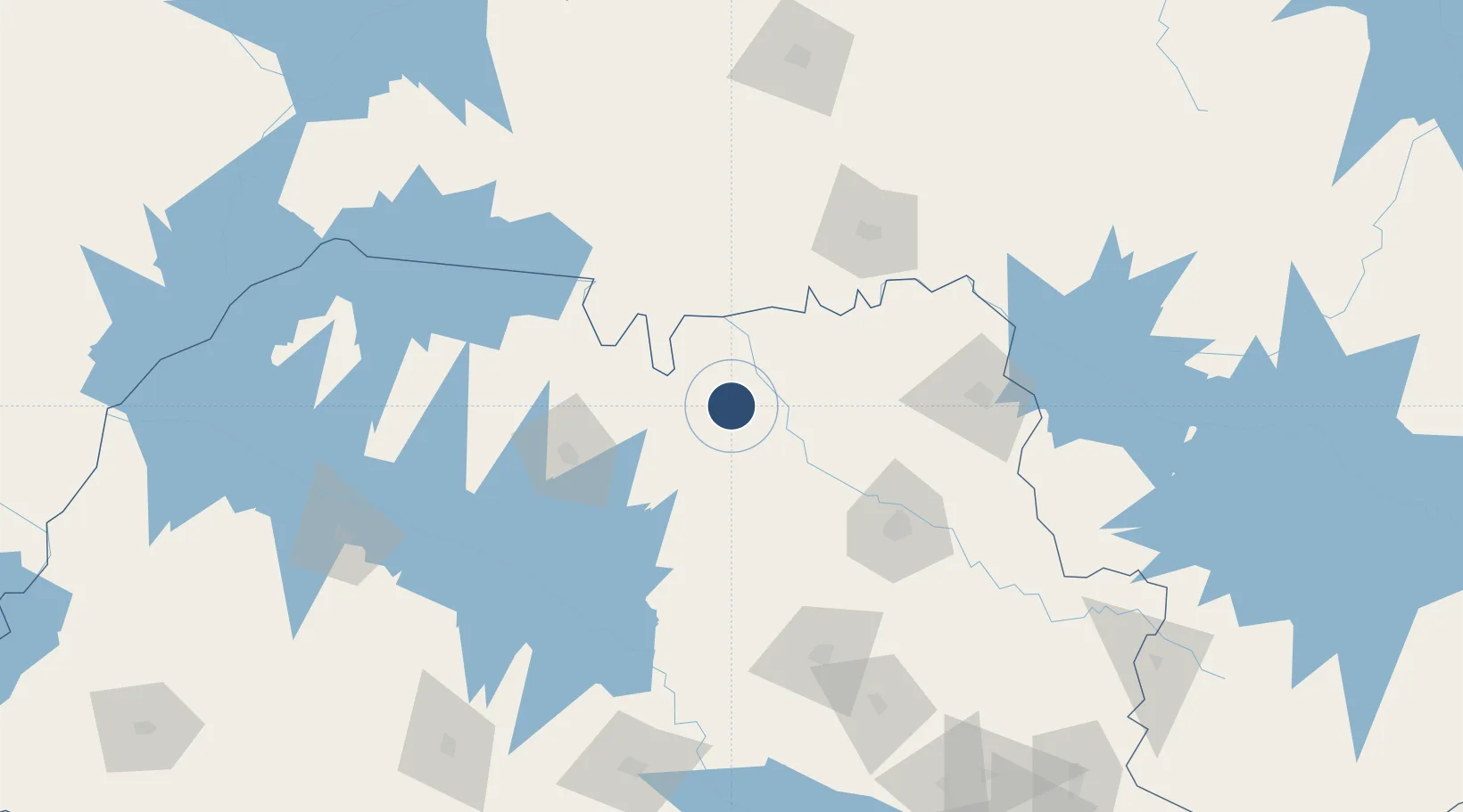
-20.5846°, -48.5941°
5,906 ft
Longest runway
1
Runways
1,903 ft
Elevation
Runway & Layout

Radio Frequencies
AFIS
130.2 MHz
BARRETOS RDO
Runways · 1
| Runway | Dimensions | Surface | True heading | Lit |
|---|---|---|---|---|
| 08/26 | 5,906 × 98ft | Asphalt | — | ✓ |
Airport Specifications
IATA code
BAT
ICAO code
SNBA
Airport class
Medium airport
Scheduled service
No
Runway surface
Asphalt
Served city
Barretos
Location
Nearby Logistics Neighbours
Airports
- 1Prof. Eribelto Manoel Reino State Airport88 km
- 2Leite Lopes Airport105 km
- 3Mário de Almeida Franco Airport112 km
- 4Araraquara Airport145 km
- 5Lins Airport168 km
Cities
- 1São Joaquim da Barra78 km
- 2Guará83 km
- 3São José do Rio Preto84 km
- 4Ituverava91 km
- 5Pradópolis102 km
Ports
- 1Santos442 km
- 2Sao Sebastiao486 km
- 3Angra Dos Reis518 km
- 4Paranagua547 km
- 5Rio De Janeiro617 km
Trade Zones
- 1ZPE de Uberaba (MG)118 km
- 2ZPE de Fernandópolis (SP)178 km
- 3ZPE de Bataguassú (MS)414 km
- 4ZPE de Itaguaí (RJ)560 km
- 5ZPE de Imbituba (SC)782 km
DatabookThe Record of Consolidated Knowledge
Brazil beyond logistics?