Large airport · Brazil
São Paulo/Guarulhos–Governor André Franco Montoro International AirportSBGR
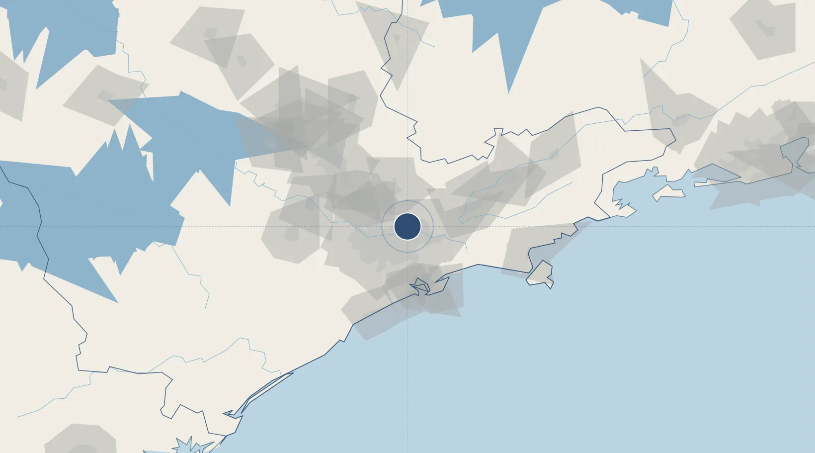
-23.4313°, -46.4700°
12,139 ft
Longest runway
2
Runways
2,461 ft
Elevation
Runway & Layout

Radio Frequencies
ATIS
127.75 MHz
TWR
132.75 MHz
GUARULHOS TWR
GND
121.7 MHz
GUARULHOS GROUND
CLD
121 MHz
CLNC DEL
APP
119.8 MHz
SAO PAULO APP
ILS
110.7 MHz
RWY 10L - IUC
ILS
111.1 MHz
RWY 28L - IBC
ILS
111.7 MHz
RWY 10R - IGH
ILS
111.9 MHz
RWY 28R - IGS
OPS
122.5 MHz
SAO PAULO OPS
Navaids
BCO VOR-DME Bonsucesso 116.00 MHz
PER NDB Perus 220 kHz
Runways · 2
| Runway | Dimensions | Surface | True heading | Lit |
|---|---|---|---|---|
| 10L/28R | 12,139 × 148ft | Asphalt | 074° | ✓ |
| 10R/28L | 9,843 × 148ft | Asphalt | 074° | ✓ |
Airport Specifications
IATA code
GRU
ICAO code
SBGR
Airport class
Large airport
Scheduled service
Yes
Runway surface
Asphalt
Served city
São Paulo
Location
Nearby Logistics Neighbours
Airports
Cities
- 1Guarulhos6 km
- 2Itaquaquecetuba13 km
- 3São Caetano do Sul21 km
- 4Suzano23 km
- 5Santo André25 km
Ports
- 1Santos60 km
- 2Sao Sebastiao117 km
- 3Angra Dos Reis225 km
- 4Paranagua310 km
- 5Rio De Janeiro343 km
Trade Zones
- 1ZPE de Itaguaí (RJ)281 km
- 2ZPE de Uberaba (MG)444 km
- 3ZPE de Imbituba (SC)510 km
- 4ZPE de Fernandópolis (SP)525 km
- 5ZPE do Açú (RJ)585 km
DatabookThe Record of Consolidated Knowledge
Brazil beyond logistics?