UN/LOCODE hub · Brazil
BRMCS
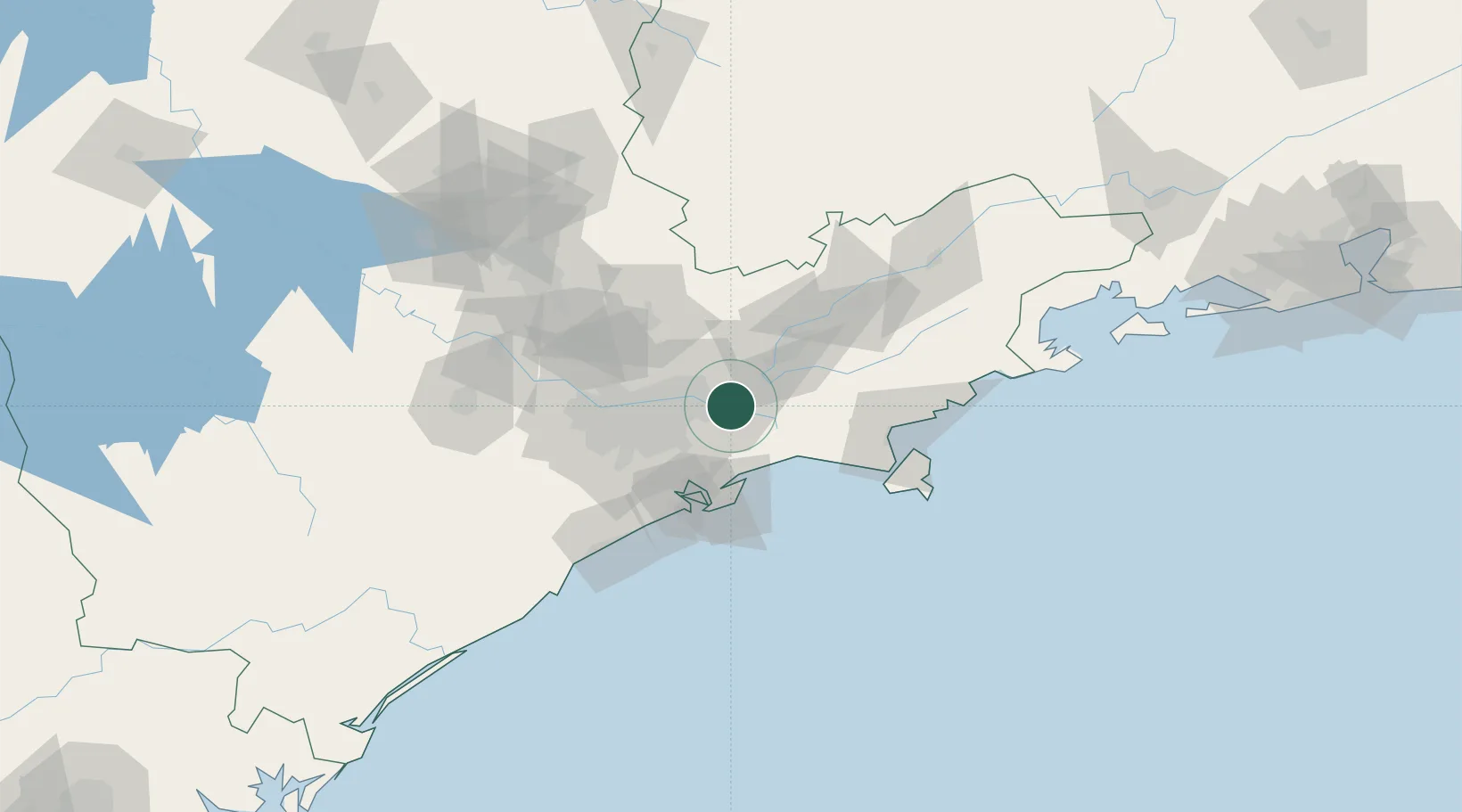
Mogi das Cruzes
-23.5167°, -46.1833°
325,746
Population
2
Transport functions
Transport Functions
Rail
Road
Hub Profile
Place type
Populated place
Region
São Paulo
Population
325,746
Time zone
America/Sao_Paulo
Elevation
759 m
Location
Nearby Logistics Neighbours
Cities
- 1Suzano12 km
- 2Itaquaquecetuba18 km
- 3Mauá32 km
- 4Jacareí33 km
- 5Guarulhos34 km
Ports
- 1Santos50 km
- 2Sao Sebastiao86 km
- 3Angra Dos Reis199 km
- 4Rio De Janeiro316 km
- 5Niteroi321 km
Airports
Trade Zones
- 1ZPE de Itaguaí (RJ)255 km
- 2ZPE de Uberaba (MG)464 km
- 3ZPE de Imbituba (SC)514 km
- 4ZPE de Fernandópolis (SP)553 km
- 5ZPE do Açú (RJ)560 km
DatabookThe Record of Consolidated Knowledge
Brazil beyond logistics?