Transport Functions
Rail
Road
Airport
Hub Profile
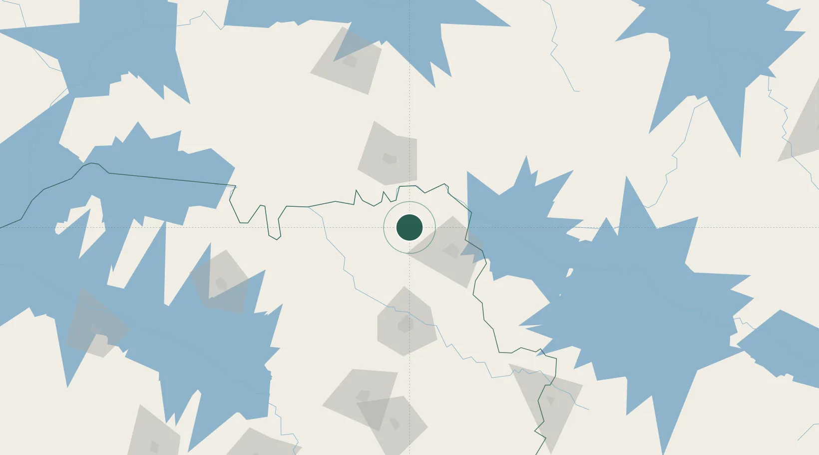
Place type
Populated place
Region
São Paulo
Population
37,571
Time zone
America/Sao_Paulo
Elevation
607 m
Location
Nearby Logistics Neighbours
Cities
- 1Guará11 km
- 2São Joaquim da Barra27 km
- 3Uberaba74 km
- 4Ribeirão Preto90 km
- 5Serrana98 km
Ports
- 1Santos430 km
- 2Sao Sebastiao456 km
- 3Angra Dos Reis465 km
- 4Rio De Janeiro555 km
- 5Niteroi558 km
Airports
Trade Zones
- 1ZPE de Uberaba (MG)74 km
- 2ZPE de Fernandópolis (SP)262 km
- 3ZPE de Itaguaí (RJ)502 km
- 4ZPE de Bataguassú (MS)505 km
- 5ZPE de Teófilo Otoni (MG)715 km
DatabookThe Record of Consolidated Knowledge
Brazil beyond logistics?