Medium airport · Brazil
Mário de Almeida Franco AirportSBUR
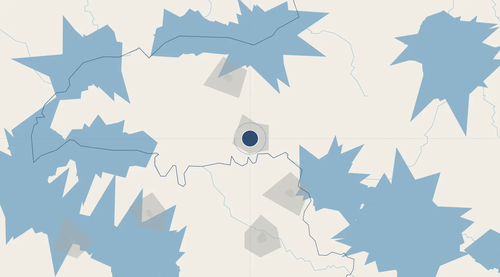
-19.7650°, -47.9648°
5,771 ft
Longest runway
1
Runways
2,655 ft
Elevation
Runway & Layout

Radio Frequencies
TWR
118.5 MHz
APP
120.8 MHz
RDO
120.8 MHz
Navaids
URB NDB Uberaba 235 kHz
Runways · 1
| Runway | Dimensions | Surface | True heading | Lit |
|---|---|---|---|---|
| 17/35 | 5,771 × 148ft | Asphalt | — | — |
Airport Specifications
IATA code
UBA
ICAO code
SBUR
Airport class
Medium airport
Scheduled service
Yes
Runway surface
Asphalt
Served city
Uberaba
Location
Nearby Logistics Neighbours
Airports
- 1Ten. Cel. Aviador César Bombonato Airport102 km
- 2Romeu Zema Airport108 km
- 3Chafei Amsei Airport112 km
- 4Leite Lopes Airport154 km
- 5Prof. Eribelto Manoel Reino State Airport191 km
Cities
- 1Uberaba8 km
- 2Ituverava67 km
- 3Guará74 km
- 4São Joaquim da Barra90 km
- 5Uberlândia104 km
Ports
- 1Santos496 km
- 2Sao Sebastiao521 km
- 3Angra Dos Reis523 km
- 4Rio De Janeiro607 km
- 5Niteroi610 km
Trade Zones
- 1ZPE de Uberaba (MG)8 km
- 2ZPE de Fernandópolis (SP)249 km
- 3ZPE de Bataguassú (MS)509 km
- 4ZPE de Itaguaí (RJ)557 km
- 5ZPE de Teófilo Otoni (MG)714 km
DatabookThe Record of Consolidated Knowledge
Brazil beyond logistics?