Medium airport · Brazil

Romeu Zema AirportSBAX
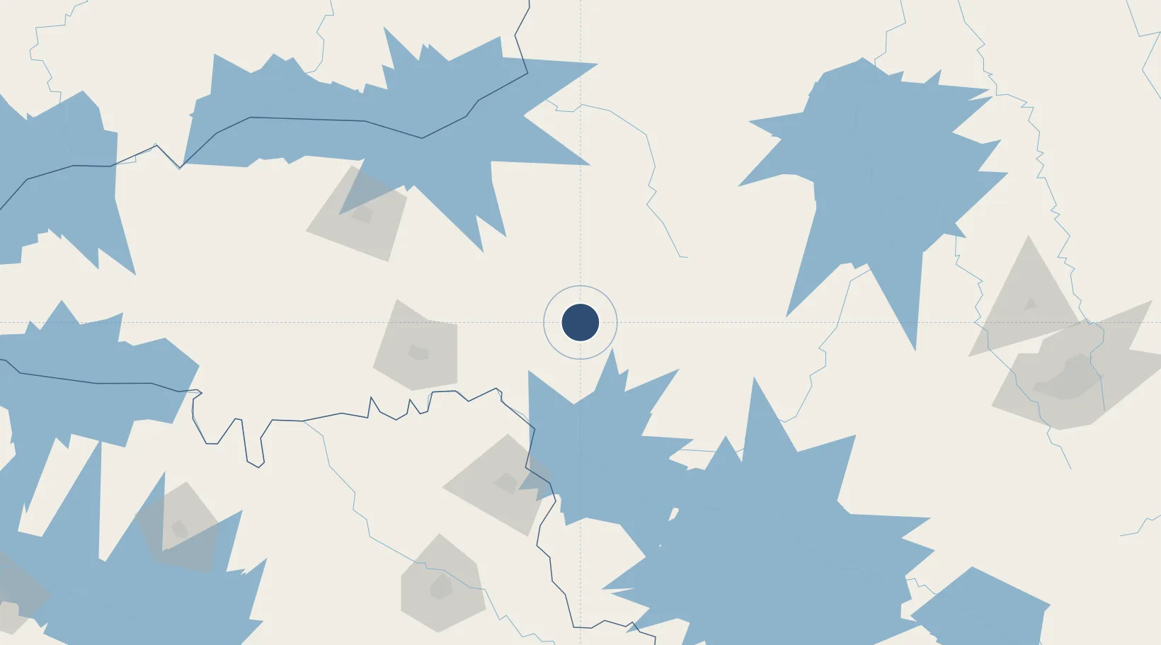
-19.5632°, -46.9604°
6,234 ft
Longest runway
1
Runways
3,276 ft
Elevation

Runway & Layout

Romeu Zema Airport runway & taxiway layout
Runway & taxiway layout — OpenStreetMap (ODbL) / OurAirports

Radio Frequencies

AFIS
130.35 MHz
RDO
OurAirports

Navaids

ARX VOR-DME Araxa 117.00 MHz
ARX NDB Araxa 210 kHz
OurAirports

Runways · 1

RunwayDimensions SurfaceTrue headingLit
16/34 6,234 × 98ft Asphalt
OurAirports

Airport Specifications

IATA code
AAX
OurAirports
ICAO code
SBAX
OurAirports
Airport class
Medium airport
OurAirports
Scheduled service
Yes
OurAirports
Runway surface
Asphalt
OurAirports
Served city
Araxá
OurAirports

Location

Location of SBAX
Natural Earth 10m (public domain) · Minas Gerais · SBAX · -19.56, -46.96GoogleOSMYandex

Nearby Logistics Neighbours

Airports
  1. 1Mário de Almeida Franco Airport108 km
  2. 2Ten. Cel. Aviador César Bombonato Airport153 km
  3. 3Leite Lopes Airport194 km
  4. 4Chafei Amsei Airport205 km
  5. 5Poços de Caldas - Embaixador Walther Moreira Salles Airport257 km
Nearest neighbours — logibook spatial index (haversine) over the source coordinates
Cities
  1. 1Araxá4 km
  2. 2Patrocínio70 km
  3. 3Uberaba108 km
  4. 4Ituverava120 km
  5. 5Guará130 km
Nearest neighbours — logibook spatial index (haversine) over the source coordinates
Ports
  1. 1Angra Dos Reis472 km
  2. 2Santos493 km
  3. 3Sao Sebastiao498 km
  4. 4Rio De Janeiro541 km
  5. 5Niteroi543 km
Nearest neighbours — logibook spatial index (haversine) over the source coordinates
Trade Zones
  1. 1ZPE de Uberaba (MG)108 km
  2. 2ZPE de Fernandópolis (SP)356 km
  3. 3ZPE de Itaguaí (RJ)497 km
  4. 4ZPE de Teófilo Otoni (MG)607 km
  5. 5ZPE de Bataguassú (MS)614 km
Nearest neighbours — logibook spatial index (haversine) over the source coordinates
DatabookThe Record of Consolidated Knowledge
Brazil beyond logistics?
Browse databook

All Sources

AirportsOurAirports
Public domain
Portsthe NGA World Port Index
Public domain (US gov)
LocationsUN/LOCODE
UN/LOCODE — free
Trade Zonesthe World Bank SEZ database
CC BY 4.0
Trade ZonesOpen Zone Map
CC BY
InfrastructureOpenStreetMap
ODbL 1.0
← Brazil airports