Transport Functions
Rail
Road
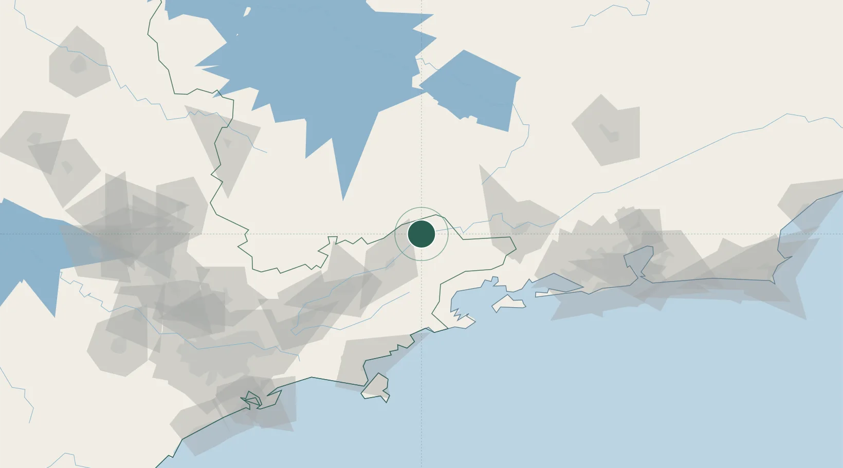
Hub Profile
Place type
Populated place
Region
São Paulo
Population
74,961
Time zone
America/Sao_Paulo
Elevation
545 m
Location
Nearby Logistics Neighbours
Cities
- 1Guaratinguetá37 km
- 2Itatiaia44 km
- 3Roseira50 km
- 4Resende54 km
- 5Pindamonhangaba64 km
Ports
- 1Angra Dos Reis82 km
- 2Sao Sebastiao145 km
- 3Rio De Janeiro187 km
- 4Niteroi191 km
- 5Santos207 km
Airports
- 1Edu Chaves Field36 km
- 2N. S. A. Heliport64 km
- 3Paraty Airport77 km
- 4Base de Aviação de Taubaté78 km
- 5Professor Urbano Ernesto Stumpf Airport119 km
Trade Zones
- 1ZPE de Itaguaí (RJ)126 km
- 2ZPE do Açú (RJ)411 km
- 3ZPE de Uberaba (MG)448 km
- 4ZPE de Aracruz (ES)597 km
- 5ZPE de Fernandópolis (SP)606 km
DatabookThe Record of Consolidated Knowledge
Brazil beyond logistics?