Transport Functions
Port
Road
Hub Profile
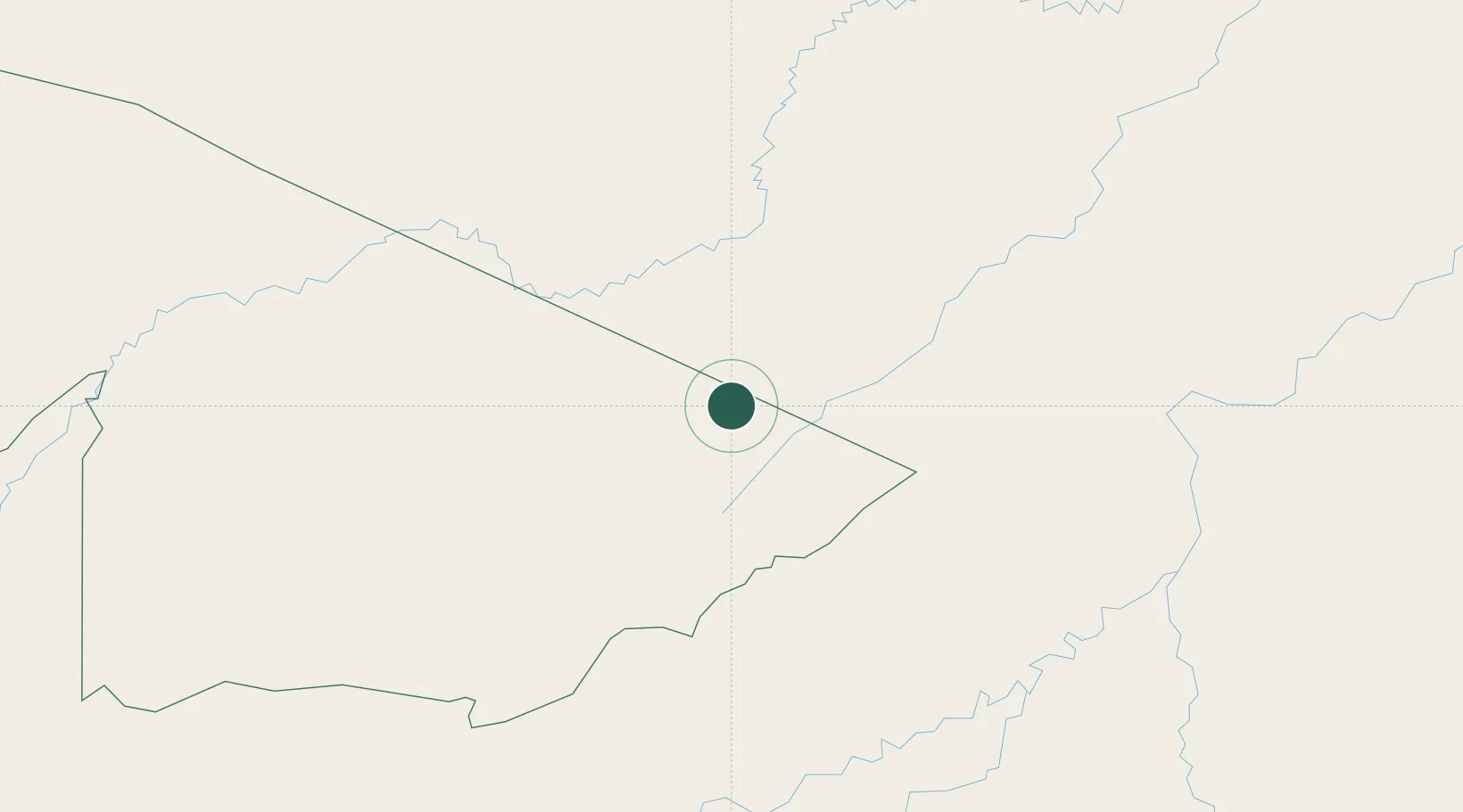
Place type
Populated place
Region
Acre
Population
16,693
Time zone
America/Rio_Branco
Elevation
121 m
Location
Nearby Logistics Neighbours
Cities
- 1Rio Branco50 km
- 2Puerto Rico165 km
- 3Epitaciolândia205 km
- 4Riberalta220 km
- 5Assis Brasil266 km
Ports
- 1Iquitos905 km
- 2Bahia De Matarani961 km
- 3Puerto Ilo985 km
- 4Rada De Arica1031 km
- 5Bahia San Nicolas1046 km
Airports
Trade Zones
DatabookThe Record of Consolidated Knowledge
Brazil beyond logistics?