Large airport · Brazil

Rio Branco-Plácido de Castro International AirportSBRB
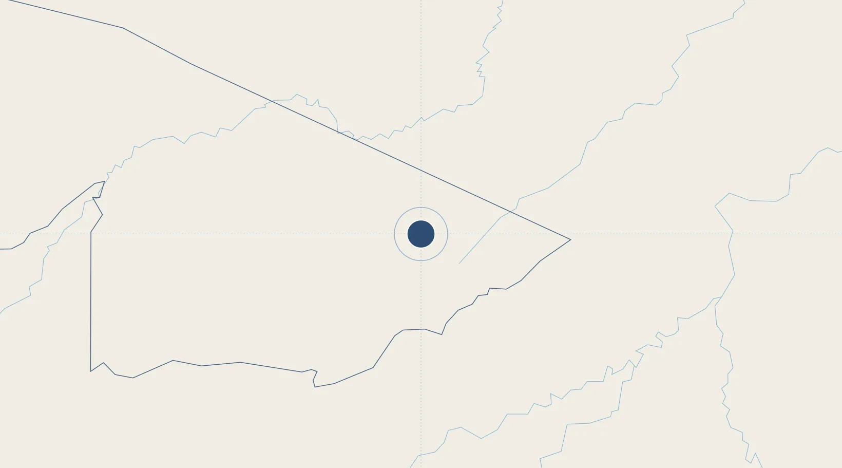
-9.8690°, -67.8940°
7,080 ft
Longest runway
1
Runways
633 ft
Elevation

Runway & Layout

Rio Branco-Plácido de Castro International Airport runway & taxiway layout
Runway & taxiway layout — OpenStreetMap (ODbL) / OurAirports

Radio Frequencies

TWR
118.7 MHz
RIO BRANCO TWR
APP
119.9 MHz
RIO BRANCO APP
OurAirports

Navaids

RBC VOR-DME Branco 114.20 MHz
RBC NDB Branco 355 kHz
OurAirports

Runways · 1

RunwayDimensions SurfaceTrue headingLit
06/24 7,080 × 148ft Asphalt
OurAirports

Airport Specifications

IATA code
RBR
OurAirports
ICAO code
SBRB
OurAirports
Airport class
Large airport
OurAirports
Scheduled service
Yes
OurAirports
Runway surface
Asphalt
OurAirports
Served city
Rio Branco
OurAirports

Location

Location of SBRB
Natural Earth 10m (public domain) · Acre · SBRB · -9.87, -67.89GoogleOSMYandex

Nearby Logistics Neighbours

Airports
  1. 1Puerto Rico Airport143 km
  2. 2Capitán Aníbal Arab Airport162 km
  3. 3Capitán Av. Selin Zeitun Lopez Airport236 km
  4. 4Iberia Airport245 km
  5. 5Guayaramerín Airport297 km
Nearest neighbours — logibook spatial index (haversine) over the source coordinates
Cities
  1. 1Rio Branco15 km
  2. 2Porto Acre50 km
  3. 3Puerto Rico138 km
  4. 4Epitaciolândia157 km
  5. 5Assis Brasil216 km
Nearest neighbours — logibook spatial index (haversine) over the source coordinates
Ports
  1. 1Iquitos900 km
  2. 2Bahia De Matarani915 km
  3. 3Puerto Ilo941 km
  4. 4Rada De Arica991 km
  5. 5Bahia San Nicolas996 km
Nearest neighbours — logibook spatial index (haversine) over the source coordinates
Trade Zones
  1. 1ZPE do Acre (AC)41 km
  2. 2Cobija Commercial and Industrial Free Zone172 km
  3. 3La Paz Commercial and Industrial Free Zone744 km
  4. 4Zofrapat Commercial and Industrial Free Zone821 km
  5. 5Zona Franca Oruro905 km
Nearest neighbours — logibook spatial index (haversine) over the source coordinates
DatabookThe Record of Consolidated Knowledge
Brazil beyond logistics?
Browse databook

All Sources

AirportsOurAirports
Public domain
Portsthe NGA World Port Index
Public domain (US gov)
LocationsUN/LOCODE
UN/LOCODE — free
Trade Zonesthe World Bank SEZ database
CC BY 4.0
Trade ZonesOpen Zone Map
CC BY
InfrastructureOpenStreetMap
ODbL 1.0
← Brazil airports