Transport Functions
Road
Multimodal
Hub Profile
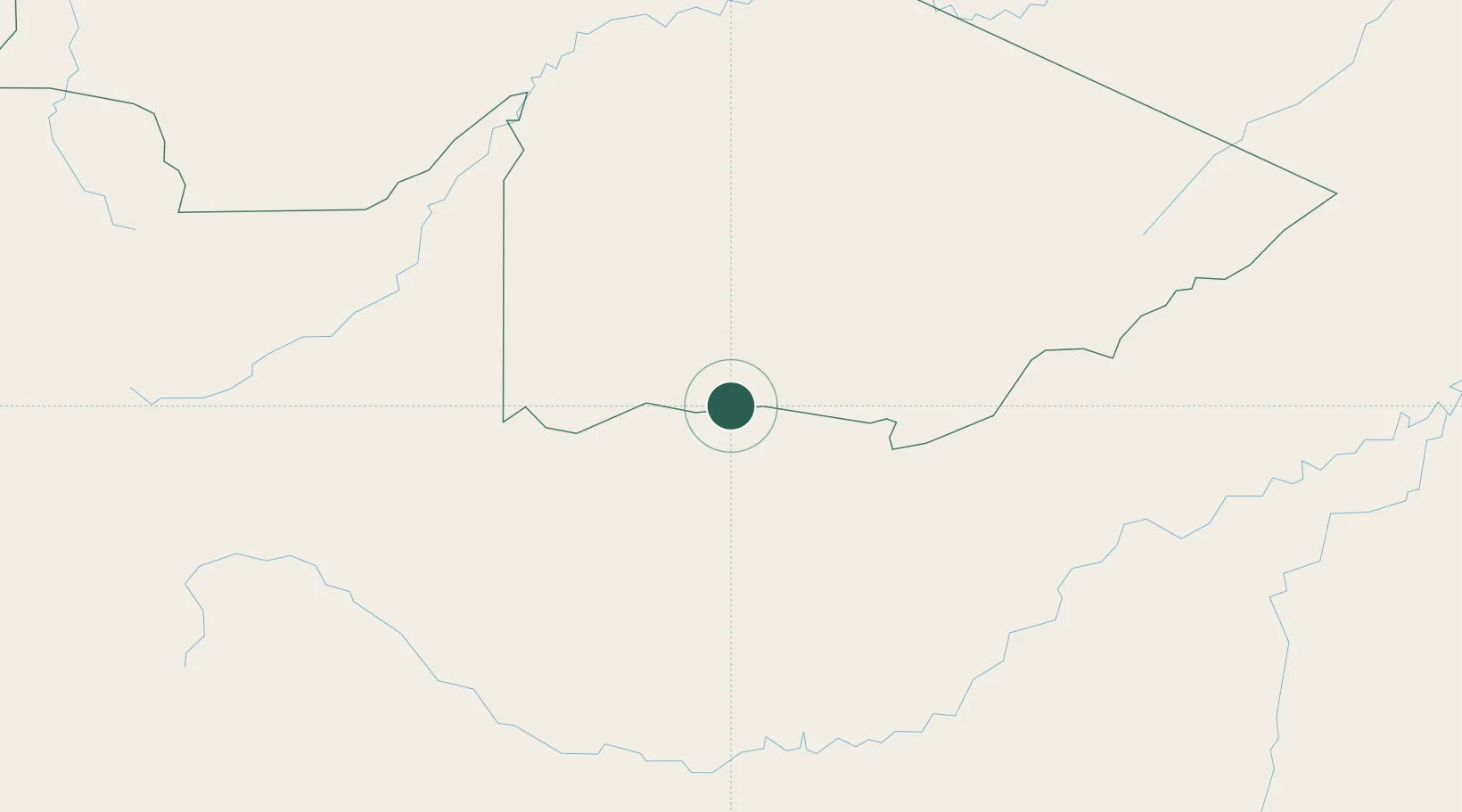
Place type
Populated place
Region
Acre
Population
8,100
Time zone
America/Rio_Branco
Elevation
240 m
Location
Nearby Logistics Neighbours
Cities
- 1Epitaciolândia90 km
- 2Puerto Maldonado187 km
- 3Puerto Rico210 km
- 4Rio Branco220 km
- 5Porto Acre266 km
Ports
- 1Bahia De Matarani729 km
- 2Puerto Ilo770 km
- 3Bahia San Nicolas780 km
- 4Conchan Oil Terminal823 km
- 5La Pampilla Oil Terminal834 km
Airports
DatabookThe Record of Consolidated Knowledge
Brazil beyond logistics?