Transport Functions
Port
Road
Airport
Hub Profile
Place type
Populated place
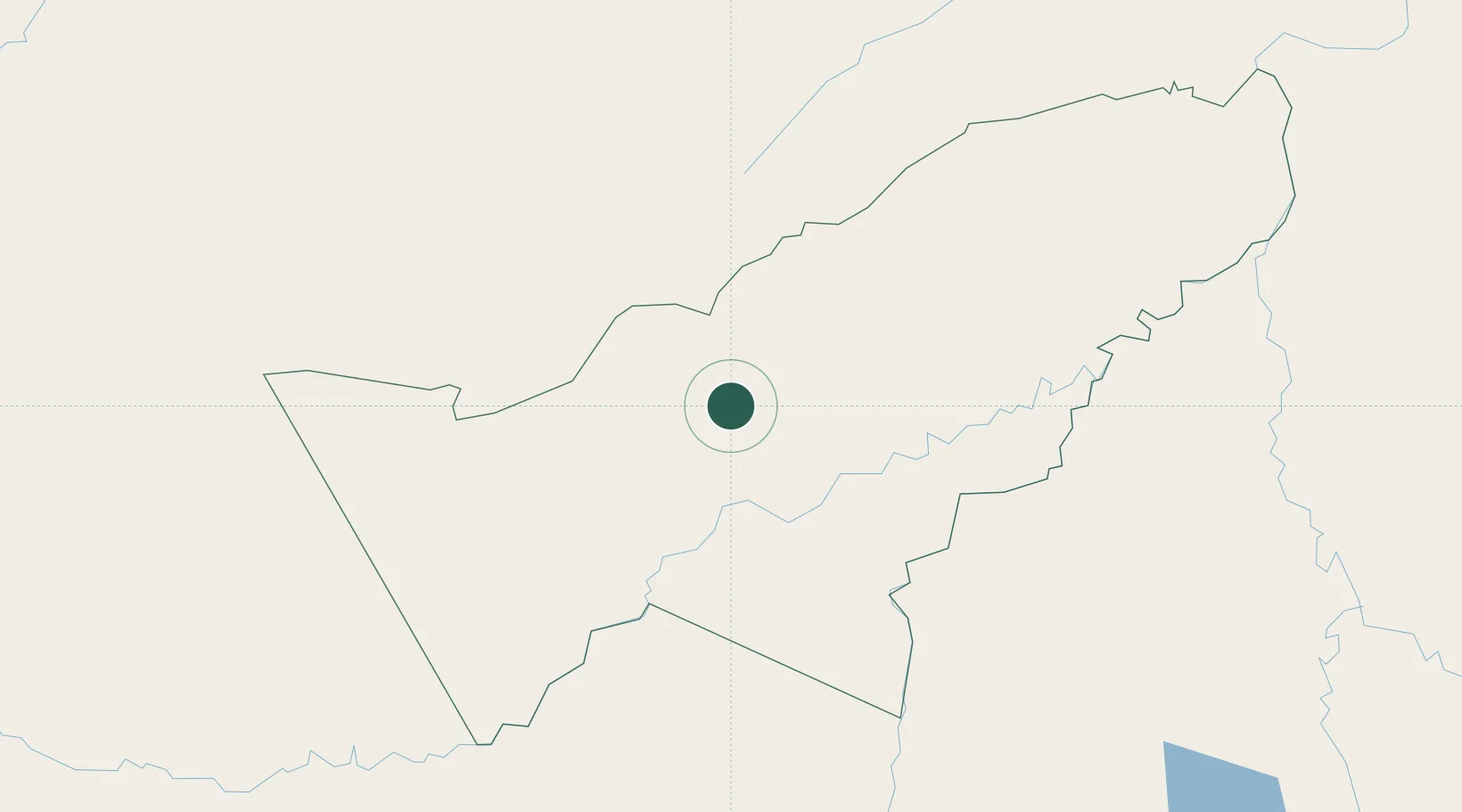
Region
Pando
Time zone
America/La_Paz
Elevation
159 m
Location
Nearby Logistics Neighbours
Cities
- 1Epitaciolândia120 km
- 2Rio Branco126 km
- 3Porto Acre165 km
- 4Riberalta168 km
- 5Assis Brasil210 km
Ports
- 1Bahia De Matarani816 km
- 2Puerto Ilo832 km
- 3Rada De Arica871 km
- 4Bahia San Nicolas944 km
- 5Iquitos1023 km
Airports
Trade Zones
DatabookThe Record of Consolidated Knowledge
Bolivia beyond logistics?