Small airport · Bolivia

Puerto Rico AirportSLPR

-11.1077°, -67.5512°
597 ft
Elevation

Runway & Layout

Airport Specifications

IATA code
PUR
OurAirports
ICAO code
SLPR
OurAirports
Airport class
Small airport
OurAirports
Scheduled service
Yes
OurAirports
Served city
Puerto Rico/Manuripi
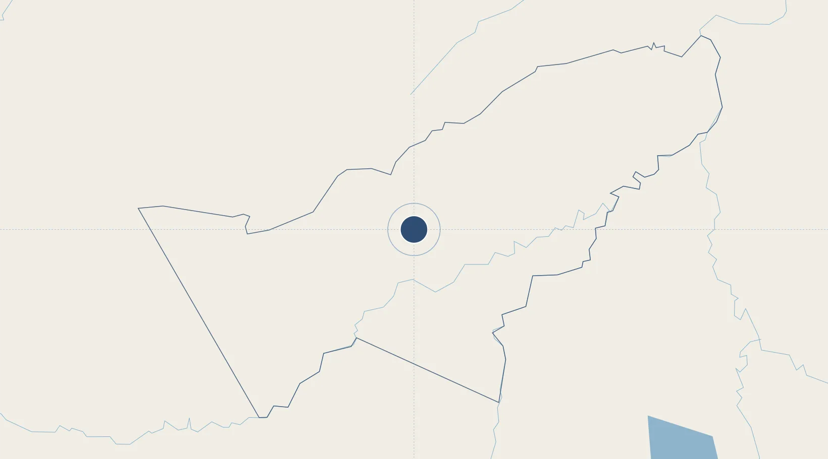
OurAirports

Location

Location of SLPR
Natural Earth 10m (public domain) · Pando · SLPR · -11.11, -67.55GoogleOSMYandex

Nearby Logistics Neighbours

Airports
  1. 1Capitán Aníbal Arab Airport135 km
  2. 2Rio Branco-Plácido de Castro International Airport143 km
  3. 3Capitán Av. Selin Zeitun Lopez Airport161 km
  4. 4Iberia Airport214 km
  5. 5Guayaramerín Airport238 km
Nearest neighbours — logibook spatial index (haversine) over the source coordinates
Cities
  1. 1Puerto Rico9 km
  2. 2Epitaciolândia129 km
  3. 3Rio Branco130 km
  4. 4Riberalta159 km
  5. 5Porto Acre168 km
Nearest neighbours — logibook spatial index (haversine) over the source coordinates
Ports
  1. 1Bahia De Matarani820 km
  2. 2Puerto Ilo834 km
  3. 3Rada De Arica871 km
  4. 4Bahia San Nicolas951 km
  5. 5Iquitos1030 km
Nearest neighbours — logibook spatial index (haversine) over the source coordinates
Trade Zones
  1. 1ZPE do Acre (AC)115 km
  2. 2Cobija Commercial and Industrial Free Zone136 km
  3. 3La Paz Commercial and Industrial Free Zone610 km
  4. 4Zofrapat Commercial and Industrial Free Zone684 km
  5. 5Zona Franca Oruro765 km
Nearest neighbours — logibook spatial index (haversine) over the source coordinates
DatabookThe Record of Consolidated Knowledge
Bolivia beyond logistics?
Browse databook

All Sources

AirportsOurAirports
Public domain
Portsthe NGA World Port Index
Public domain (US gov)
LocationsUN/LOCODE
UN/LOCODE — free
Trade Zonesthe World Bank SEZ database
CC BY 4.0
Trade ZonesOpen Zone Map
CC BY
← Bolivia airports