UN/LOCODE hub · Brazil
BREPI
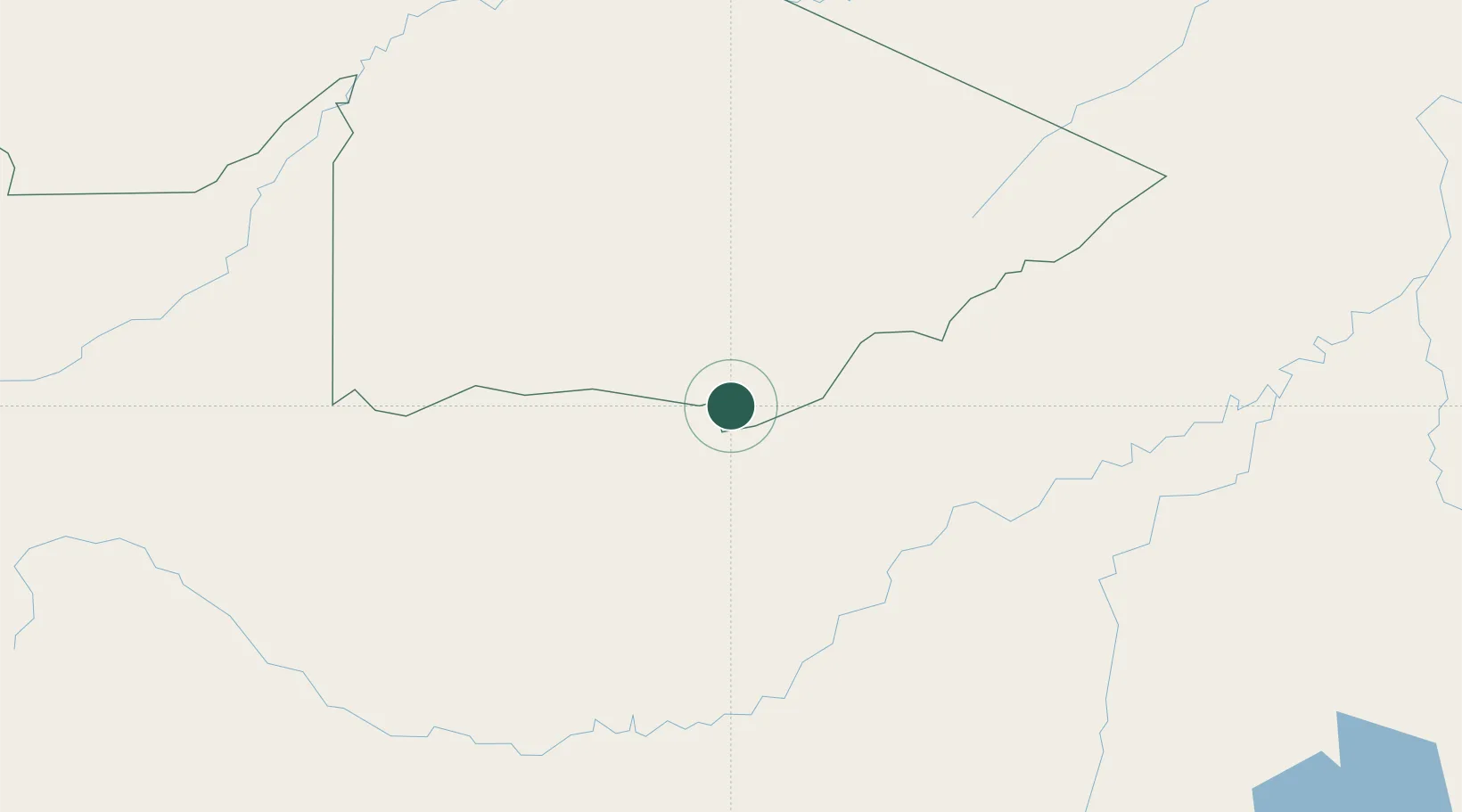
Epitaciolândia
-11.0167°, -68.7333°
18,757
Population
2
Transport functions
Transport Functions
Road
Multimodal
Hub Profile
Place type
Populated place
Region
Acre
Population
18,757
Time zone
America/Rio_Branco
Elevation
227 m
Location
Nearby Logistics Neighbours
Cities
- 1Assis Brasil90 km
- 2Puerto Rico120 km
- 3Rio Branco155 km
- 4Puerto Maldonado182 km
- 5Porto Acre205 km
Ports
- 1Bahia De Matarani759 km
- 2Puerto Ilo789 km
- 3Rada De Arica846 km
- 4Bahia San Nicolas847 km
- 5Conchan Oil Terminal909 km
Airports
DatabookThe Record of Consolidated Knowledge
Brazil beyond logistics?