Medium airport · Bolivia

Capitán Aníbal Arab AirportSLCO
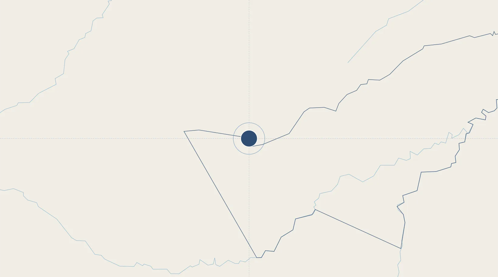
-11.0391°, -68.7828°
6,562 ft
Longest runway
1
Runways
889 ft
Elevation

Runway & Layout

Capitán Aníbal Arab Airport runway & taxiway layout
Runway & taxiway layout — OpenStreetMap (ODbL) / OurAirports

Radio Frequencies

TWR
118.3 MHz
COBIJA TWR
RDO
662.2 MHz
COBIJA RDO
OurAirports

Navaids

CIJ NDB Cobija 230 kHz
OurAirports

Runways · 1

RunwayDimensions SurfaceTrue headingLit
02/20 6,562 × 98ft Asphalt 011°
OurAirports

Airport Specifications

IATA code
CIJ
OurAirports
ICAO code
SLCO
OurAirports
Airport class
Medium airport
OurAirports
Scheduled service
Yes
OurAirports
Runway surface
Asphalt
OurAirports
Served city
Cobija
OurAirports

Location

Location of SLCO
Natural Earth 10m (public domain) · Pando · SLCO · -11.04, -68.78GoogleOSMYandex

Nearby Logistics Neighbours

Airports
  1. 1Iberia Airport87 km
  2. 2Puerto Rico Airport135 km
  3. 3Rio Branco-Plácido de Castro International Airport162 km
  4. 4Padre Aldamiz International Airport182 km
  5. 5Capitán Av. Selin Zeitun Lopez Airport296 km
Nearest neighbours — logibook spatial index (haversine) over the source coordinates
Cities
  1. 1Epitaciolândia6 km
  2. 2Assis Brasil85 km
  3. 3Puerto Rico126 km
  4. 4Rio Branco161 km
  5. 5Puerto Maldonado178 km
Nearest neighbours — logibook spatial index (haversine) over the source coordinates
Ports
  1. 1Bahia De Matarani754 km
  2. 2Puerto Ilo784 km
  3. 3Bahia San Nicolas841 km
  4. 4Rada De Arica843 km
  5. 5Conchan Oil Terminal904 km
Nearest neighbours — logibook spatial index (haversine) over the source coordinates
DatabookThe Record of Consolidated Knowledge
Bolivia beyond logistics?
Browse databook

All Sources

AirportsOurAirports
Public domain
Portsthe NGA World Port Index
Public domain (US gov)
LocationsUN/LOCODE
UN/LOCODE — free
Trade Zonesthe World Bank SEZ database
CC BY 4.0
Trade ZonesOpen Zone Map
CC BY
InfrastructureOpenStreetMap
ODbL 1.0
← Bolivia airports