Transport Functions
Rail
Road
Hub Profile
Place type
Populated place
Region
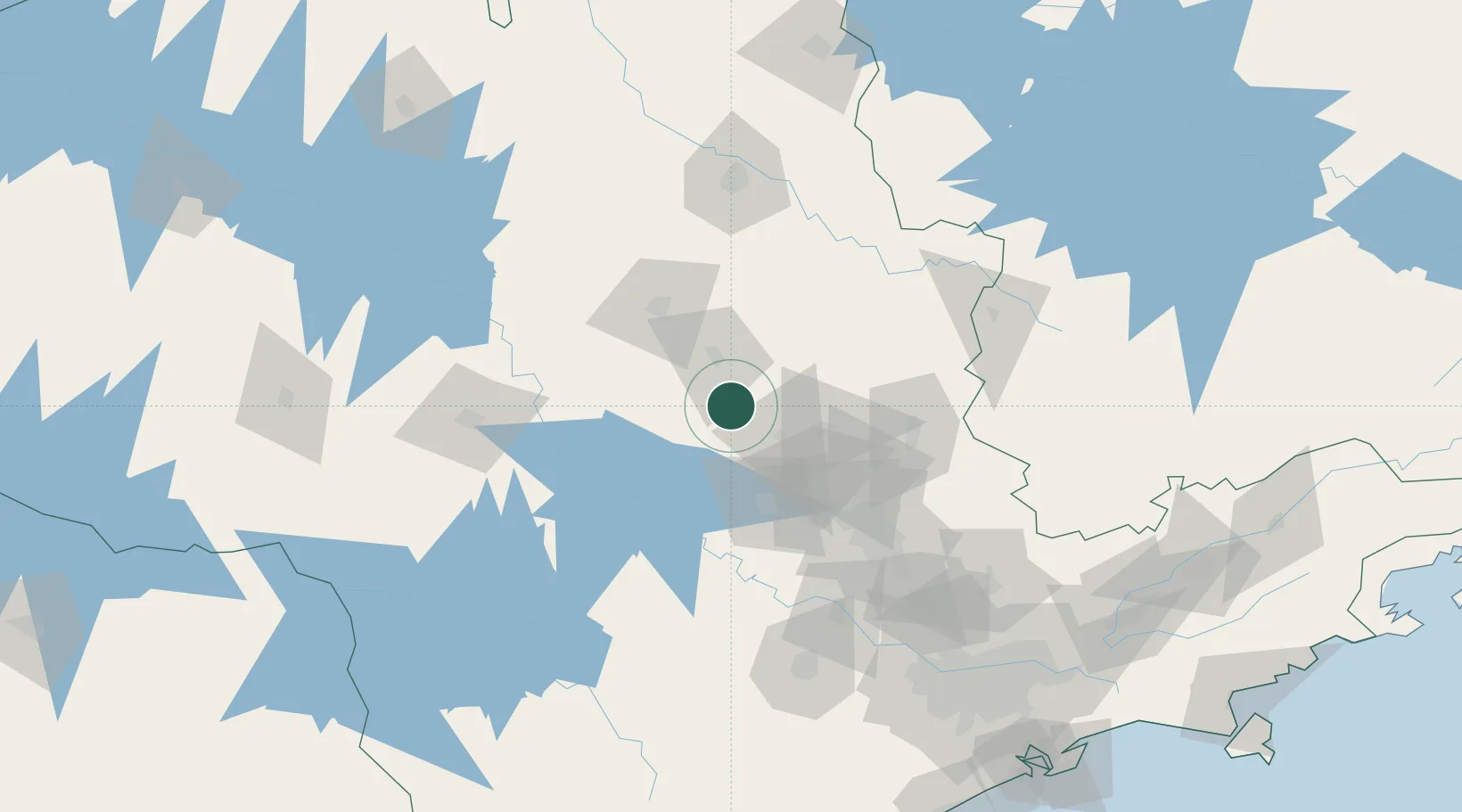
São Paulo
Population
16,148
Time zone
America/Sao_Paulo
Elevation
760 m
Location
Nearby Logistics Neighbours
Cities
- 1São Pedro33 km
- 2Santa Maria da Serra49 km
- 3Araraquara65 km
- 4Anhembi67 km
- 5Jaú76 km
Ports
- 1Santos245 km
- 2Sao Sebastiao301 km
- 3Paranagua368 km
- 4Angra Dos Reis369 km
- 5Sao Francisco452 km
Airports
- 1Campo Fontenelle57 km
- 2Araraquara Airport59 km
- 3Viracopos International Airport110 km
- 4Leite Lopes Airport124 km
- 5Bauru/Arealva–Moussa Nakhal Tobias State Airport129 km
Trade Zones
- 1ZPE de Uberaba (MG)285 km
- 2ZPE de Fernandópolis (SP)334 km
- 3ZPE de Itaguaí (RJ)421 km
- 4ZPE de Bataguassú (MS)478 km
- 5ZPE de Imbituba (SC)601 km
DatabookThe Record of Consolidated Knowledge
Brazil beyond logistics?