Medium airport · Brazil

Bauru/Arealva–Moussa Nakhal Tobias State AirportSBAE
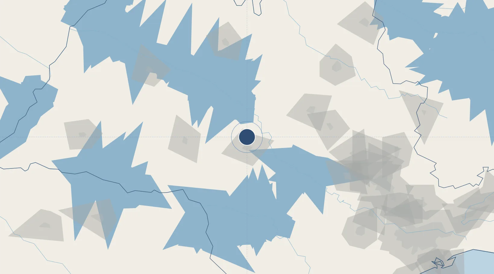
-22.1608°, -49.0703°
6,594 ft
Longest runway
1
Runways
1,962 ft
Elevation

Runway & Layout

Bauru/Arealva–Moussa Nakhal Tobias State Airport runway & taxiway layout
Runway & taxiway layout — OpenStreetMap (ODbL) / OurAirports

Radio Frequencies

APP
121.3 MHz
BAURU APP
AFIS
126.6 MHz
RADIO AREALVA
OurAirports

Runways · 1

RunwayDimensions SurfaceTrue headingLit
17/35 6,594 × 148ft Asphalt 191°
OurAirports

Airport Specifications

IATA code
JTC
OurAirports
ICAO code
SBAE
OurAirports
Airport class
Medium airport
OurAirports
Scheduled service
Yes
OurAirports
Runway surface
Asphalt
OurAirports
Served city
Bauru
OurAirports

Location

Location of SBAE
Natural Earth 10m (public domain) · São Paulo · SBAE · -22.16, -49.07GoogleOSMYandex

Nearby Logistics Neighbours

Airports
  1. 1Lins Airport88 km
  2. 2Frank Miloye Milenkowichi–Marília State Airport88 km
  3. 3Araraquara Airport104 km
  4. 4Prof. Eribelto Manoel Reino State Airport153 km
  5. 5Leite Lopes Airport176 km
Nearest neighbours — logibook spatial index (haversine) over the source coordinates
Cities
  1. 1Bauru17 km
  2. 2Bariri36 km
  3. 3Pederneiras38 km
  4. 4Jaú55 km
  5. 5Santa Maria da Serra105 km
Nearest neighbours — logibook spatial index (haversine) over the source coordinates
Ports
  1. 1Santos346 km
  2. 2Paranagua376 km
  3. 3Sao Sebastiao418 km
  4. 4Sao Francisco457 km
  5. 5Angra Dos Reis497 km
Nearest neighbours — logibook spatial index (haversine) over the source coordinates
Trade Zones
  1. 1ZPE de Fernandópolis (SP)242 km
  2. 2ZPE de Uberaba (MG)296 km
  3. 3ZPE de Bataguassú (MS)348 km
  4. 4ZPE de Itaguaí (RJ)550 km
  5. 5ZPE de Imbituba (SC)608 km
Nearest neighbours — logibook spatial index (haversine) over the source coordinates
DatabookThe Record of Consolidated Knowledge
Brazil beyond logistics?
Browse databook

All Sources

AirportsOurAirports
Public domain
Portsthe NGA World Port Index
Public domain (US gov)
LocationsUN/LOCODE
UN/LOCODE — free
Trade Zonesthe World Bank SEZ database
CC BY 4.0
Trade ZonesOpen Zone Map
CC BY
InfrastructureOpenStreetMap
ODbL 1.0
← Brazil airports